Chino Hills night lights from space
Night Light of Chino Hills (California) from space (United States) Src. Average luminocity for 10x10km area is 74.3479% and for 50x50km: 70.0643%.
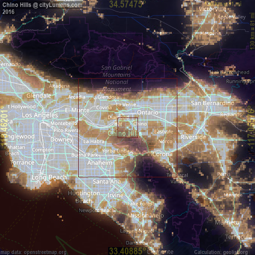
Analysis of Chino Hills night lights 2016
Square area 10x10 km:
 11.89%
90-99
15.21%80-89
9.44%70-79
15.21%60-69
24.3%50-59
20.1%40-49
3.85%30-39
0%20-29
0%10-19
0%0-9
0%Square area 50x50 km:
21.83%90-99
19.02%80-89
6.84%70-79
10.88%60-69
11.79%50-59
5.65%40-49
5.04%30-39
3.06%20-29
3.08%10-19
5.75%0-9
7.05%Clear (daylight) street map image can be seen on geolist.org.
Map coordinates:
34° 34' 29.1" North, 118° 27' 43.2" West
33° 59' 37.7" North, 117° 45' 32" West
33° 24' 31.9" North, 117° 3' 20.7" West
Some cities around Chino Hills sort by population:
• Ontario
12.6 km =7.8 mi,  52°
52°
• Pomona
6.9 km =4.3 mi,  5°
5°
• Diamond Bar
6.1 km =3.8 mi,  309°
309°
• Montclair
11.3 km =7 mi,  34°
34°
• Claremont
12 km =7.5 mi,  17°
17°
• La Verne
11.9 km =7.4 mi,  356°
356°
• Walnut
10.2 km =6.3 mi,  286°
286°
• Los Serranos
5.2 km =3.2 mi,  116°
116°
5336545 (p: 78,309)
Sources (retrieved 2019-11-25):
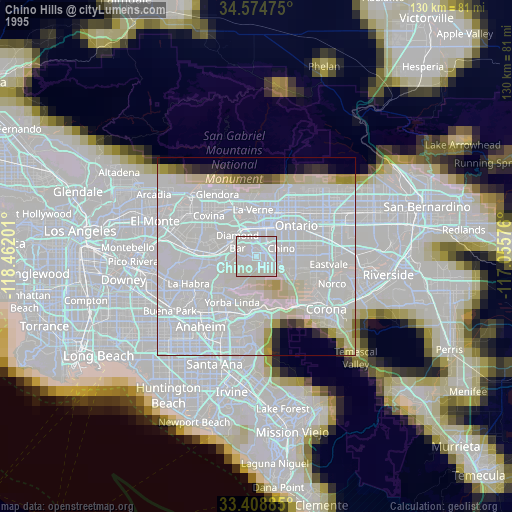
» NASA, Earths city lights 1995
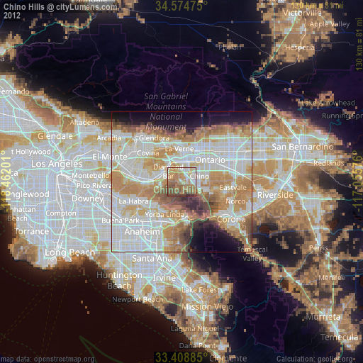
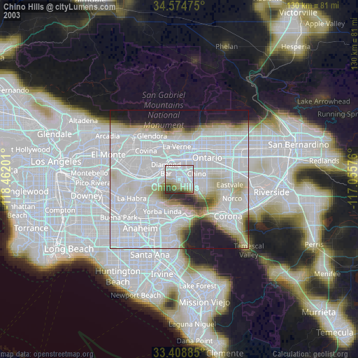
» NASA city lights 2003
» Earth at Night: Flat Maps 2012, 2016