Des Moines night lights from space
Night Light of Des Moines (Washington) from space (United States) Src. Average luminocity for 10x10km area is 56.9261% and for 50x50km: 45.1326%.
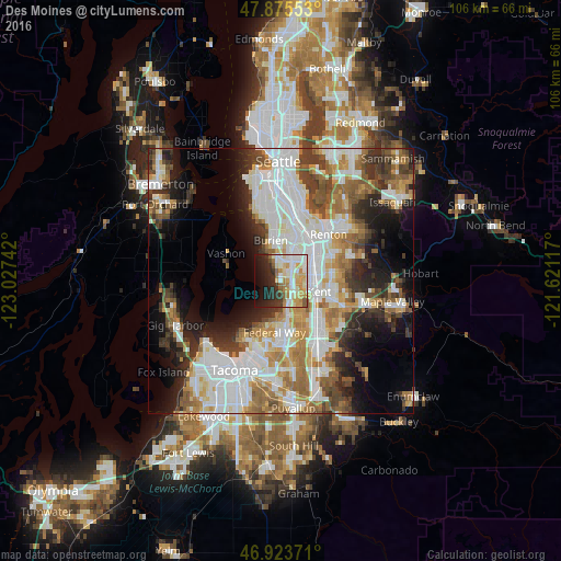
Analysis of Des Moines night lights 2016
Square area 10x10 km:
 12.64%
90-99
14.49%80-89
9.66%70-79
9.09%60-69
6.39%50-59
4.69%40-49
1.14%30-39
6.53%20-29
13.21%10-19
14.63%0-9
7.53%Square area 50x50 km:
12.8%90-99
10.24%80-89
4.06%70-79
5.23%60-69
6.35%50-59
5.69%40-49
5.03%30-39
5.13%20-29
7.16%10-19
9.98%0-9
28.35%Clear (daylight) street map image can be seen on geolist.org.
Map coordinates:
47° 52' 31.9" North, 123° 1' 38.7" West
47° 24' 6.4" North, 122° 19' 27.4" West
46° 55' 25.4" North, 121° 37' 16.2" West
Some cities around Des Moines sort by population:
• Kent
7.1 km =4.4 mi,  108°
108°
• Federal Way
8.9 km =5.5 mi,  174°
174°
• Burien
7.8 km =4.8 mi,  347°
347°
• SeaTac
5.7 km =3.5 mi,  24°
24°
• Tukwila
9.3 km =5.8 mi,  30°
30°
• Lakeland North
8.4 km =5.2 mi,  154°
154°
• Normandy Park
4 km =2.5 mi,  342°
342°
• Riverton
9.4 km =5.8 mi,  13°
13°
5792244 (p: 31,221)
Sources (retrieved 2019-11-25):
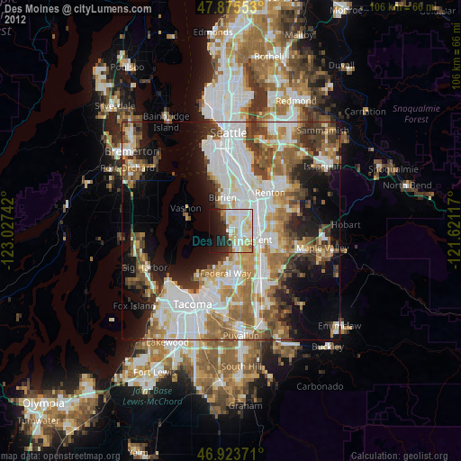
» Earth at Night: Flat Maps 2012, 2016