Burien night lights from space
Night Light of Burien (Washington) from space (United States) Src. Average luminocity for 10x10km area is 65.4531% and for 50x50km: 44.6513%.
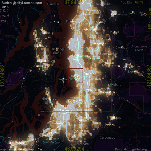
Analysis of Burien night lights 2016
Square area 10x10 km:
 25%
25%90-99
21.73%80-89
7.1%70-79
1.7%60-69
4.12%50-59
3.55%40-49
3.27%30-39
4.69%20-29
10.23%10-19
11.22%0-9
7.39%Square area 50x50 km:
13.21%90-99
10.32%80-89
3.99%70-79
4.91%60-69
5.64%50-59
4.58%40-49
5.02%30-39
6.13%20-29
7.56%10-19
10.02%0-9
28.62%Clear (daylight) street map image can be seen on geolist.org.
Map coordinates:
47° 56' 36.7" North, 123° 2' 59.7" West
47° 28' 13.4" North, 122° 20' 48.4" West
46° 59' 34.6" North, 121° 38' 37.2" West
Some cities around Burien sort by population:
• Des Moines
7.8 km =4.8 mi,  167°
167°
• SeaTac
4.8 km =3 mi,  120°
120°
• Tukwila
6.5 km =4 mi,  86°
86°
• Bryn Mawr-Skyway
8.4 km =5.2 mi,  71°
71°
• White Center
5.3 km =3.3 mi,  353°
353°
• Normandy Park
3.8 km =2.4 mi, 173°
• Riverton
4.2 km =2.6 mi, 68°
• Boulevard Park
3.2 km =2 mi,  48°
48°
5788516 (p: 50,467)
Sources (retrieved 2019-11-25):
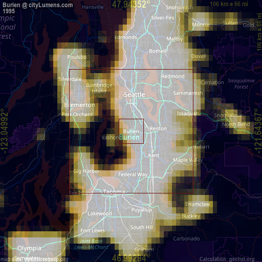
» NASA, Earths city lights 1995
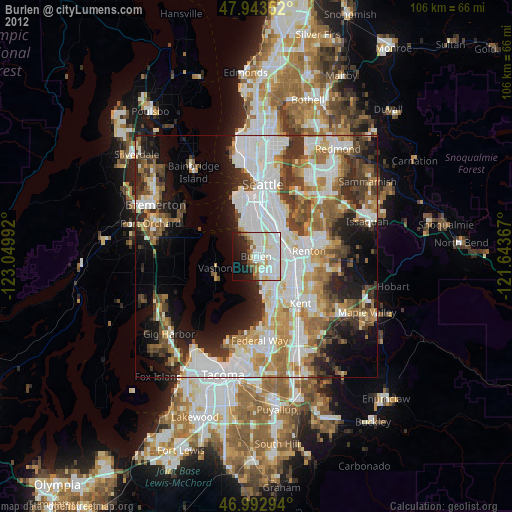
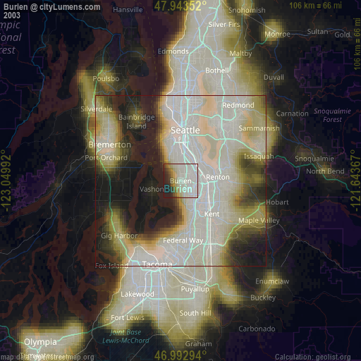
» NASA city lights 2003
» Earth at Night: Flat Maps 2012, 2016