Del Rio night lights from space
Night Light of Del Rio (Texas) from space (United States) Src. Average luminocity for 10x10km area is 56.9527% and for 50x50km: 6.7814%.
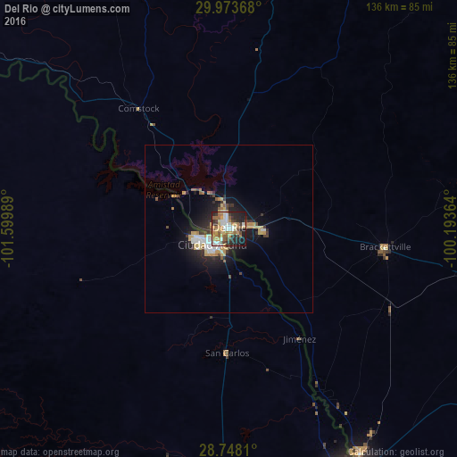
Analysis of Del Rio night lights 2016
Square area 10x10 km:
 10.04%
90-99
10.98%80-89
5.87%70-79
10.61%60-69
11.55%50-59
9.09%40-49
4.55%30-39
9.09%20-29
17.42%10-19
10.8%0-9
0%Square area 50x50 km:
1%90-99
0.99%80-89
0.83%70-79
1.21%60-69
0.87%50-59
0.68%40-49
0.6%30-39
0.97%20-29
2.18%10-19
4.73%0-9
85.92%Clear (daylight) street map image can be seen on geolist.org.
Map coordinates:
29° 58' 25.2" North, 101° 35' 59.6" West
29° 21' 45.8" North, 100° 53' 48.3" West
28° 44' 53.2" North, 100° 11' 37.1" West
Some cities around Del Rio sort by population:
• Piedras Negras, MX
82.1 km =51 mi,  153°
153°
• Ciudad Acuña, MX
6.9 km =4.3 mi,  230°
230°
• Eagle Pass
82.3 km =51.1 mi, 152°
• Nava, MX
105.5 km =65.6 mi,  173°
173°
• Uvalde
109 km =67.7 mi,  98°
98°
• Zaragoza, MX
96.7 km =60.1 mi,  181°
181°
• Eidson Road
86 km =53.4 mi, 152°
• Morelos, MX
106.3 km =66.1 mi, 179°
5520076 (p: 36,153)
Sources (retrieved 2019-11-25):
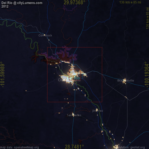
» Earth at Night: Flat Maps 2012, 2016