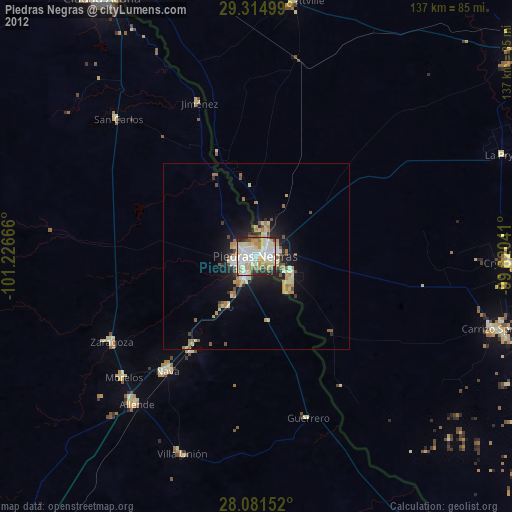
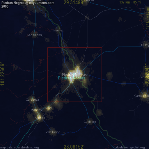
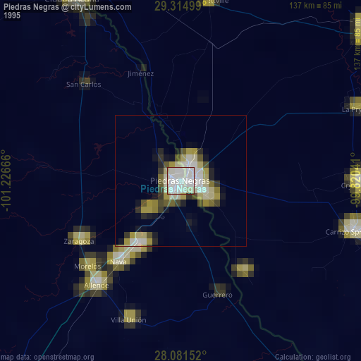
Piedras Negras night lights from space
Night Light of Piedras Negras (Coahuila) from space (Mexico) Src. Average luminocity for 10x10km area is 80.1496% and for 50x50km: 8.6326%.

Analysis of Piedras Negras night lights 2016
Square area 10x10 km:
 25.57%
90-99
27.27%80-89
7.95%70-79
10.23%60-69
9.09%50-59
4.92%40-49
5.11%30-39
6.25%20-29
3.6%10-19
0%0-9
0%Square area 50x50 km:
1.19%90-99
1.41%80-89
0.99%70-79
1.44%60-69
1.25%50-59
1.09%40-49
0.98%30-39
1.15%20-29
2.56%10-19
5.29%0-9
82.66%Clear (daylight) street map image can be seen on geolist.org.
Map coordinates:
29° 18' 54" North, 101° 13' 36" West
28° 42' 0.3" North, 100° 31' 24.7" West
28° 4' 53.5" North, 99° 49' 13.5" West
Some cities around Piedras Negras sort by population:
• Eagle Pass, US
2.5 km =1.6 mi,  66°
66°
• Nava
39 km =24.2 mi,  217°
217°
• Allende
51.1 km =31.8 mi, 218°
• Zaragoza
45.2 km =28.1 mi,  239°
239°
• Eidson Road, US
4.4 km =2.7 mi,  125°
125°
• Morelos
48.3 km =30 mi,  227°
227°
• Villa Unión
56.7 km =35.2 mi,  200°
200°
• Villa Union
57 km =35.4 mi, 199°
3992619 (p: 150,178)
Sources (retrieved 2019-11-25):
» NASA, Earths city lights 1995
» NASA city lights 2003
» Earth at Night: Flat Maps 2012, 2016