Eagle Pass night lights from space
Night Light of Eagle Pass (Texas) from space (United States) Src. Average luminocity for 10x10km area is 75.3239% and for 50x50km: 8.5666%.
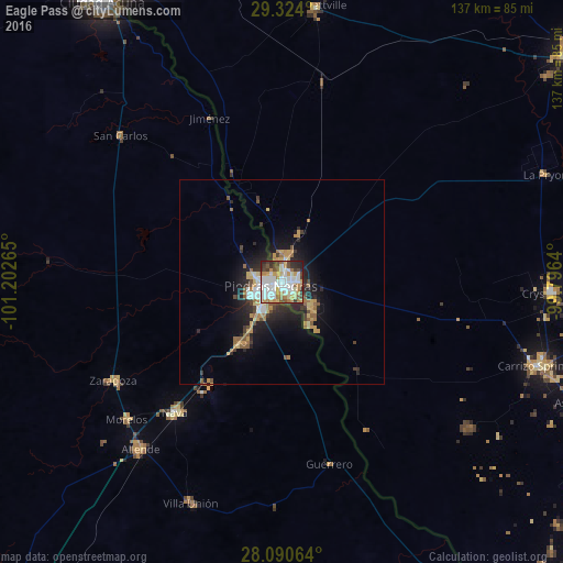
Analysis of Eagle Pass night lights 2016
Square area 10x10 km:
 21.21%
90-99
23.3%80-89
9.28%70-79
10.23%60-69
8.52%50-59
6.25%40-49
7.01%30-39
6.44%20-29
7.2%10-19
0.57%0-9
0%Square area 50x50 km:
1.19%90-99
1.41%80-89
0.96%70-79
1.44%60-69
1.24%50-59
1.08%40-49
0.95%30-39
1.15%20-29
2.53%10-19
5.27%0-9
82.78%Clear (daylight) street map image can be seen on geolist.org.
Map coordinates:
29° 19' 26.4" North, 101° 12' 9.5" West
28° 42' 32.9" North, 100° 29' 58.3" West
28° 5' 26.3" North, 99° 47' 47" West
Some cities around Eagle Pass sort by population:
• Piedras Negras, MX
2.5 km =1.6 mi,  246°
246°
• Nava, MX
41.3 km =25.7 mi,  219°
219°
• Allende, MX
53.4 km =33.2 mi, 220°
• Zaragoza, MX
47.7 km =29.6 mi,  239°
239°
• Eidson Road
3.8 km =2.4 mi,  161°
161°
• Morelos, MX
50.7 km =31.5 mi,  228°
228°
• Villa Unión, MX
58.5 km =36.4 mi,  202°
202°
• Villa Union, MX
58.7 km =36.5 mi, 201°
5520677 (p: 28,765)
Sources (retrieved 2019-11-25):
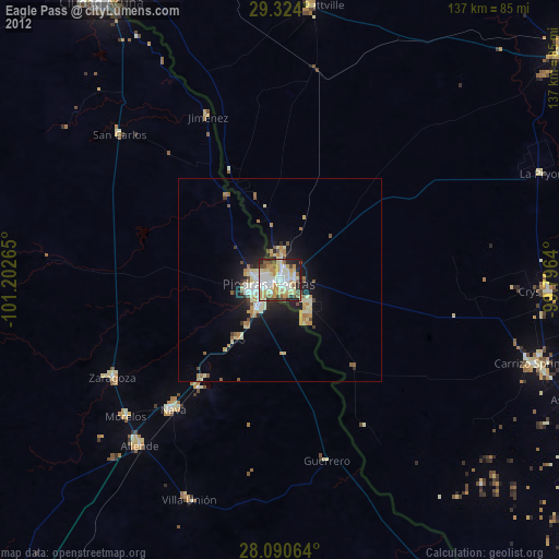
» Earth at Night: Flat Maps 2012, 2016