Uvalde night lights from space
Night Light of Uvalde (Texas) from space (United States) Src. Average luminocity for 10x10km area is 35.2044% and for 50x50km: 1.8251%.
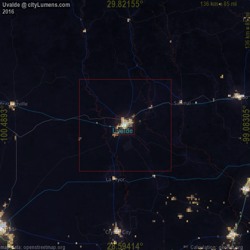
Analysis of Uvalde night lights 2016
Square area 10x10 km:
 2.78%
2.78%90-99
3.77%80-89
8.53%70-79
6.55%60-69
6.75%50-59
3.17%40-49
1.98%30-39
5.75%20-29
6.15%10-19
39.29%0-9
15.28%Square area 50x50 km:
0.1%90-99
0.14%80-89
0.32%70-79
0.27%60-69
0.33%50-59
0.27%40-49
0.13%30-39
0.35%20-29
0.33%10-19
1.78%0-9
95.97%Clear (daylight) street map image can be seen on geolist.org.
Map coordinates:
29° 49' 17.6" North, 100° 29' 21.5" West
29° 12' 34.8" North, 99° 47' 10.2" West
28° 35' 38.9" North, 99° 4' 59" West
Some cities around Uvalde sort by population:
• Piedras Negras, MX
91.4 km =56.8 mi,  231°
231°
• Eagle Pass
89 km =55.3 mi, 231°
• Pearsall
75.9 km =47.2 mi,  117°
117°
• Hondo
64.4 km =40 mi,  76°
76°
• Eidson Road
90.3 km =56.1 mi, 229°
• Crystal City
59.3 km =36.8 mi,  183°
183°
• Carrizo Springs
76.8 km =47.7 mi,  185°
185°
• Lakehills
92.7 km =57.6 mi,  61°
61°
4738721 (p: 16,476)
Sources (retrieved 2019-11-25):
» Earth at Night: Flat Maps 2012, 2016