Ciudad Acuña night lights from space
Night Light of Ciudad Acuña (Coahuila) from space (Mexico) Src. Average luminocity for 10x10km area is 65.5511% and for 50x50km: 6.7905%.
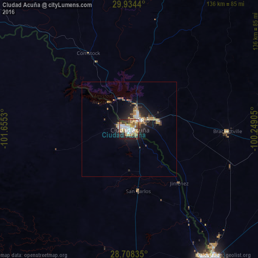
Analysis of Ciudad Acuña night lights 2016
Square area 10x10 km:
 16.48%
90-99
14.77%80-89
8.14%70-79
14.77%60-69
7.01%50-59
5.49%40-49
4.92%30-39
6.63%20-29
14.77%10-19
7.01%0-9
0%Square area 50x50 km:
1%90-99
0.99%80-89
0.83%70-79
1.21%60-69
0.87%50-59
0.68%40-49
0.6%30-39
0.97%20-29
2.21%10-19
4.73%0-9
85.89%Clear (daylight) street map image can be seen on geolist.org.
Map coordinates:
29° 56' 3.8" North, 101° 39' 19.1" West
29° 19' 23.6" North, 100° 57' 7.8" West
28° 42' 30.1" North, 100° 14' 56.6" West
Some cities around Ciudad Acuña sort by population:
• Piedras Negras
80.9 km =50.3 mi,  148°
148°
• Del Rio, US
6.9 km =4.3 mi,  50°
50°
• Eagle Pass, US
81.2 km =50.5 mi, 147°
• Nava
102 km =63.4 mi,  169°
169°
• Allende
109.6 km =68.1 mi, 174°
• Zaragoza
92.3 km =57.4 mi,  178°
178°
• Eidson Road, US
84.9 km =52.8 mi, 147°
• Morelos
102.1 km =63.4 mi, 176°
4013728 (p: 134,233)
Sources (retrieved 2019-11-25):
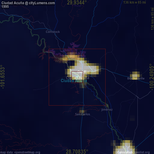
» NASA, Earths city lights 1995
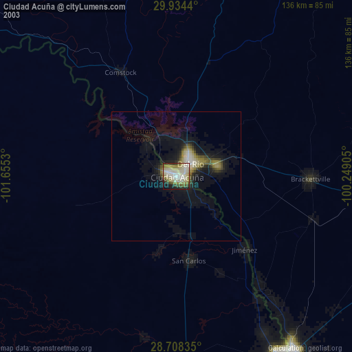
» NASA city lights 2003
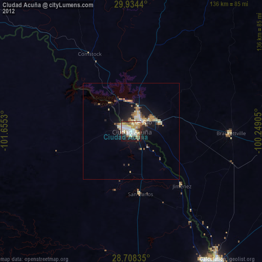
» Earth at Night: Flat Maps 2012, 2016