Mahomet night lights from space
Night Light of Mahomet (Illinois) from space (United States) Src. Average luminocity for 10x10km area is 17.0763% and for 50x50km: 9.7997%.
Analysis of Mahomet night lights 2016
Square area 10x10 km:
 0.32%
0.32%90-99
0.65%80-89
3.9%70-79
3.08%60-69
5.68%50-59
0.65%40-49
1.95%30-39
1.95%20-29
2.76%10-19
11.69%0-9
67.37%Square area 50x50 km:
1.66%90-99
1.73%80-89
1.62%70-79
0.93%60-69
1.3%50-59
0.85%40-49
1.05%30-39
1.12%20-29
2.18%10-19
5.78%0-9
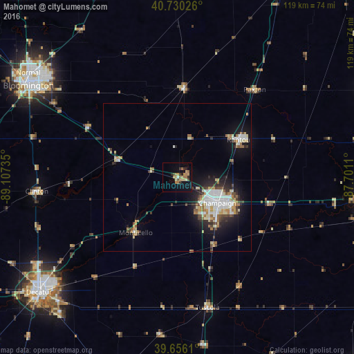
81.78%Clear (daylight) street map image can be seen on geolist.org.
Map coordinates:
40° 43' 48.9" North, 89° 6' 26.5" West
40° 11' 43.1" North, 88° 24' 15.2" West
39° 39' 22" North, 87° 42' 4" West
Some cities around Mahomet sort by population:
• Champaign
16.2 km =10.1 mi,  122°
122°
• Bloomington
59.4 km =36.9 mi,  302°
302°
• Normal
61 km =37.9 mi,  305°
305°
• Urbana
19.2 km =11.9 mi, 119°
• Rantoul
24.5 km =15.2 mi,  59°
59°
• Savoy
20.3 km =12.6 mi,  140°
140°
• Clinton
47.8 km =29.7 mi,  264°
264°
• Monticello
23.5 km =14.6 mi,  217°
217°
4900885 (p: 8,056)
Sources (retrieved 2019-11-25):
» Earth at Night: Flat Maps 2012, 2016