Danville night lights from space
Night Light of Danville (Virginia) from space (United States) Src. Average luminocity for 10x10km area is 69.8901% and for 50x50km: 7.3227%.
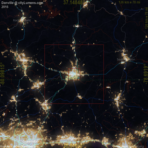
Analysis of Danville night lights 2016
Square area 10x10 km:
 12.64%
90-99
14.84%80-89
17.03%70-79
13.37%60-69
7.88%50-59
8.61%40-49
10.44%30-39
7.69%20-29
7.14%10-19
0.37%0-9
0%Square area 50x50 km:
0.63%90-99
0.7%80-89
1.21%70-79
1.21%60-69
1.05%50-59
0.86%40-49
0.95%30-39
1.76%20-29
2.41%10-19
4.53%0-9
84.7%Clear (daylight) street map image can be seen on geolist.org.
Map coordinates:
37° 8' 54.5" North, 80° 5' 53.3" West
36° 35' 9.5" North, 79° 23' 42.1" West
36° 1' 9.6" North, 78° 41' 30.8" West
Some cities around Danville sort by population:
• Burlington
54.6 km =33.9 mi,  184°
184°
• Eden
34.9 km =21.7 mi,  251°
251°
• Reidsville
35.2 km =21.9 mi,  223°
223°
• Martinsville
44.2 km =27.5 mi,  285°
285°
• Elon
54.6 km =33.9 mi,  190°
190°
• Roxboro
42.6 km =26.5 mi,  120°
120°
• South Boston
45.8 km =28.5 mi,  74°
74°
• Collinsville
48.6 km =30.2 mi, 287°
4755280 (p: 42,082)
Sources (retrieved 2019-11-25):
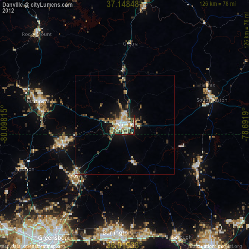
» Earth at Night: Flat Maps 2012, 2016