South Boston night lights from space
Night Light of South Boston (Virginia) from space (United States) Src. Average luminocity for 10x10km area is 33.1868% and for 50x50km: 2.26%.
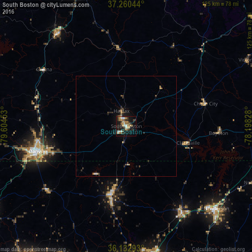
Analysis of South Boston night lights 2016
Square area 10x10 km:
 2.2%
2.2%90-99
5.31%80-89
5.68%70-79
3.11%60-69
7.69%50-59
5.68%40-49
2.75%30-39
5.49%20-29
8.06%10-19
31.87%0-9
22.16%Square area 50x50 km:
0.12%90-99
0.24%80-89
0.34%70-79
0.21%60-69
0.35%50-59
0.32%40-49
0.28%30-39
0.65%20-29
0.56%10-19
1.82%0-9
95.11%Clear (daylight) street map image can be seen on geolist.org.
Map coordinates:
37° 15' 37.6" North, 79° 36' 16.3" West
36° 41' 55.5" North, 78° 54' 5" West
36° 7' 58.5" North, 78° 11' 53.8" West
Some cities around South Boston sort by population:
• Danville
45.8 km =28.5 mi,  254°
254°
• Henderson
60.8 km =37.8 mi,  132°
132°
• Mebane
74.6 km =46.4 mi,  206°
206°
• Timberlake
76 km =47.2 mi,  335°
335°
• Oxford
51.3 km =31.9 mi,  147°
147°
• Roxboro
34.7 km =21.6 mi,  192°
192°
• Butner
64.3 km =40 mi,  168°
168°
• Hillsborough
71.5 km =44.4 mi, 194°
4786522 (p: 7,976)
Sources (retrieved 2019-11-25):
» Earth at Night: Flat Maps 2012, 2016