Lake Forest night lights from space
Night Light of Lake Forest (California) from space (United States) Src. Average luminocity for 10x10km area is 83.6832% and for 50x50km: 42.9259%.
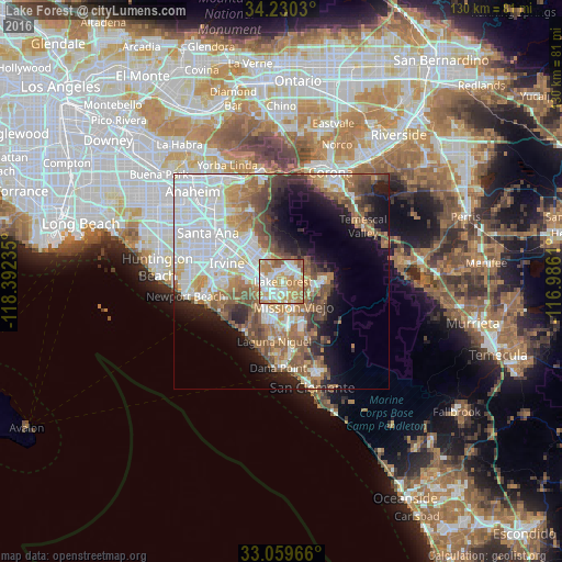

Analysis of Lake Forest night lights 2016
Square area 10x10 km:
 22.89%
90-99
21.43%80-89
11.72%70-79
21.98%60-69
16.67%50-59
5.31%40-49
0%30-39
0%20-29
0%10-19
0%0-9
0%Square area 50x50 km:
12%90-99
9.33%80-89
3.55%70-79
4.9%60-69
7.88%50-59
6.28%40-49
5.15%30-39
3.57%20-29
4.93%10-19
9.9%0-9
32.49%Clear (daylight) street map image can be seen on geolist.org.
Map coordinates:
34° 13' 49.1" North, 118° 23' 32.5" West
33° 38' 49.1" North, 117° 41' 21.2" West
33° 3' 34.8" North, 116° 59' 10" West
Some cities around Lake Forest sort by population:
• Mission Viejo
5.5 km =3.4 mi,  163°
163°
• Rancho Santa Margarita
8 km =5 mi,  94°
94°
• Laguna Hills
4.4 km =2.7 mi,  209°
209°
• Ladera Ranch
9.8 km =6.1 mi,  149°
149°
• Laguna Woods
5.3 km =3.3 mi,  219°
219°
• Foothill Ranch
5.1 km =3.2 mi,  30°
30°
• Portola Hills
6.5 km =4 mi,  56°
56°
• Las Flores
8.7 km =5.4 mi,  138°
138°
5364514 (p: 82,492)
Sources (retrieved 2019-11-25):
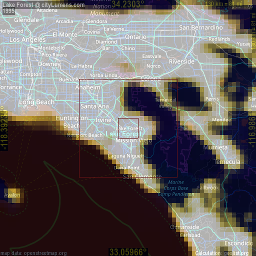
» NASA, Earths city lights 1995
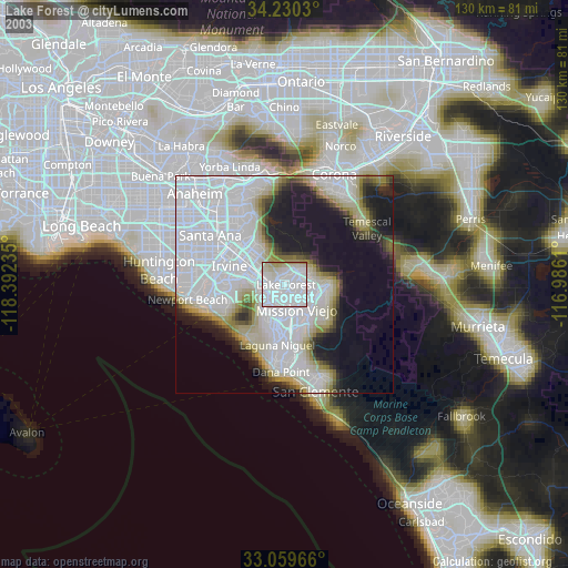
» NASA city lights 2003
» Earth at Night: Flat Maps 2012, 2016