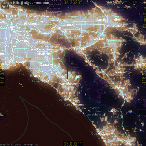
Portola Hills night lights from space
Night Light of Portola Hills (California) from space (United States) Src. Average luminocity for 10x10km area is 52.3242% and for 50x50km: 42.7562%.
Analysis of Portola Hills night lights 2016
Square area 10x10 km:
 8.61%
8.61%90-99
10.81%80-89
6.23%70-79
6.59%60-69
10.07%50-59
10.07%40-49
8.06%30-39
6.04%20-29
13%10-19
14.47%0-9
6.04%Square area 50x50 km:
9.81%90-99
8.09%80-89
3.8%70-79
5.76%60-69
9.41%50-59
7.67%40-49
5.95%30-39
4.23%20-29
4.87%10-19
10.19%0-9
30.22%Clear (daylight) street map image can be seen on geolist.org.
Map coordinates:
34° 15' 44.3" North, 118° 20' 3.4" West
33° 40' 45.1" North, 117° 37' 52.2" West
33° 5' 31.6" North, 116° 55' 40.9" West
Some cities around Portola Hills sort by population:
• Mission Viejo
9.6 km =6 mi,  203°
203°
• Lake Forest
6.5 km =4 mi,  236°
236°
• Rancho Santa Margarita
5 km =3.1 mi,  148°
148°
• Laguna Hills
10.6 km =6.6 mi,  225°
225°
• Laguna Woods
11.6 km =7.2 mi, 228°
• Coto De Caza
9.3 km =5.8 mi, 153°
• Foothill Ranch
2.9 km =1.8 mi,  286°
286°
• Las Flores
10.1 km =6.3 mi,  177°
177°
5384452 (p: 9,083)
Sources (retrieved 2019-11-25):
» Earth at Night: Flat Maps 2012, 2016