Bloomfield night lights from space
Night Light of Bloomfield (New Mexico) from space (United States) Src. Average luminocity for 10x10km area is 23.9945% and for 50x50km: 6.1812%.
Analysis of Bloomfield night lights 2016
Square area 10x10 km:
 1.28%
1.28%90-99
1.65%80-89
0.92%70-79
6.78%60-69
6.04%50-59
3.66%40-49
3.66%30-39
4.03%20-29
3.66%10-19
21.79%0-9
46.52%Square area 50x50 km:
0.7%90-99
0.8%80-89
0.33%70-79
1.28%60-69
0.93%50-59
0.55%40-49
1.1%30-39
0.86%20-29
1.68%10-19
4.99%0-9
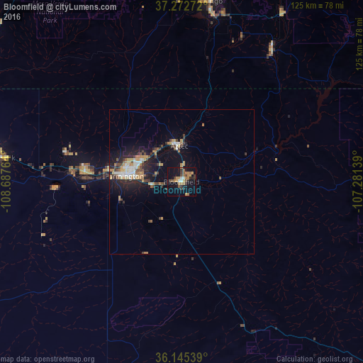
86.79%Clear (daylight) street map image can be seen on geolist.org.
Map coordinates:
37° 16' 21.8" North, 108° 41' 15.5" West
36° 42' 40" North, 107° 59' 4.2" West
36° 8' 43.4" North, 107° 16' 53" West
Some cities around Bloomfield sort by population:
• Farmington
21 km =13 mi,  275°
275°
• Gallup
148.1 km =92 mi,  207°
207°
• Durango
63.4 km =39.4 mi,  8°
8°
• Cortez
88.8 km =55.2 mi,  323°
323°
• Shiprock
63.1 km =39.2 mi, 277°
• Kirtland
33.5 km =20.8 mi,  274°
274°
• Aztec
12.4 km =7.7 mi,  356°
356°
• Lee Acres
4.9 km =3 mi,  253°
253°
5458067 (p: 7,314)
Sources (retrieved 2019-11-25):
» Earth at Night: Flat Maps 2012, 2016