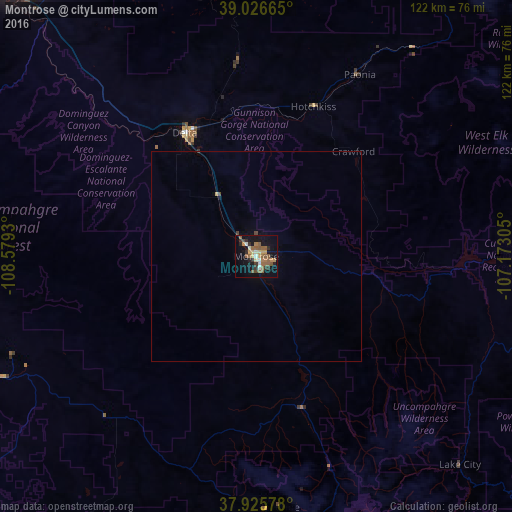
Montrose night lights from space
Night Light of Montrose (Colorado) from space (United States) Src. Average luminocity for 10x10km area is 27.0584% and for 50x50km: 1.3168%.
Analysis of Montrose night lights 2016
Square area 10x10 km:
 2.11%
2.11%90-99
2.27%80-89
3.08%70-79
3.41%60-69
4.55%50-59
11.69%40-49
1.46%30-39
4.22%20-29
3.9%10-19
22.89%0-9
40.42%Square area 50x50 km:
0.09%90-99
0.09%80-89
0.15%70-79
0.14%60-69
0.19%50-59
0.49%40-49
0.13%30-39
0.19%20-29
0.16%10-19
0.98%0-9
97.38%Clear (daylight) street map image can be seen on geolist.org.
Map coordinates:
39° 1' 35.9" North, 108° 34' 45.5" West
38° 28' 42" North, 107° 52' 34.2" West
37° 55' 32.8" North, 107° 10' 23" West
Some cities around Montrose sort by population:
• Grand Junction
87.5 km =54.4 mi,  318°
318°
• Clifton
84.4 km =52.4 mi, 323°
• Fruita
105.8 km =65.7 mi, 315°
• Delta
33.8 km =21 mi,  330°
330°
• Redlands
93.8 km =58.3 mi, 315°
• Fruitvale
86 km =53.4 mi, 321°
• Orchard Mesa
85.9 km =53.4 mi, 316°
• Gunnison
83.1 km =51.6 mi,  84°
84°
5431710 (p: 19,062)
Sources (retrieved 2019-11-25):
» Earth at Night: Flat Maps 2012, 2016