Coon Rapids night lights from space
Night Light of Coon Rapids (Minnesota) from space (United States) Src. Average luminocity for 10x10km area is 85.9288% and for 50x50km: 52.7854%.
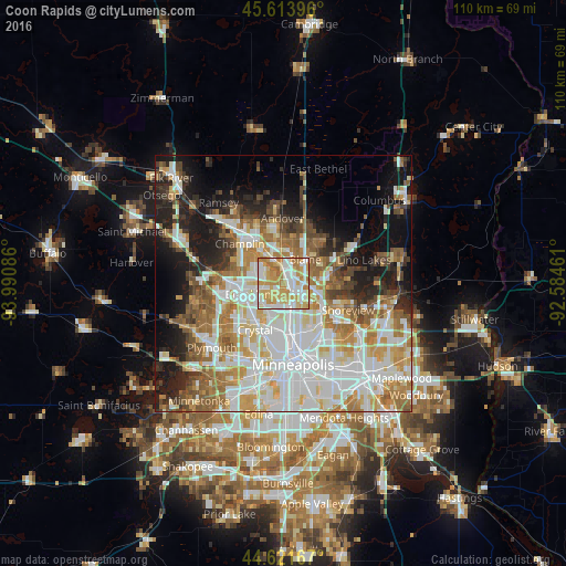
Analysis of Coon Rapids night lights 2016
Square area 10x10 km:
 23.03%
90-99
23.48%80-89
14.7%70-79
26.67%60-69
11.21%50-59
0.91%40-49
0%30-39
0%20-29
0%10-19
0%0-9
0%Square area 50x50 km:
15.08%90-99
12.19%80-89
6.06%70-79
6.91%60-69
8%50-59
5.81%40-49
4.88%30-39
3.56%20-29
6.73%10-19
11.45%0-9
19.35%Clear (daylight) street map image can be seen on geolist.org.
Map coordinates:
45° 36' 50.3" North, 93° 59' 27.1" West
45° 7' 11.9" North, 93° 17' 15.8" West
44° 37' 18" North, 92° 35' 4.6" West
Some cities around Coon Rapids sort by population:
• Brooklyn Park
6.1 km =3.8 mi,  241°
241°
• West Coon Rapids
6.6 km =4.1 mi,  312°
312°
• Blaine
6.1 km =3.8 mi,  42°
42°
• Brooklyn Center
6 km =3.7 mi,  215°
215°
• Fridley
4.2 km =2.6 mi,  153°
153°
• Columbia Heights
9 km =5.6 mi,  167°
167°
• Mounds View
6.4 km =4 mi,  105°
105°
• Spring Lake Park
4.1 km =2.5 mi, 109°
5022025 (p: 62,240)
Sources (retrieved 2019-11-25):
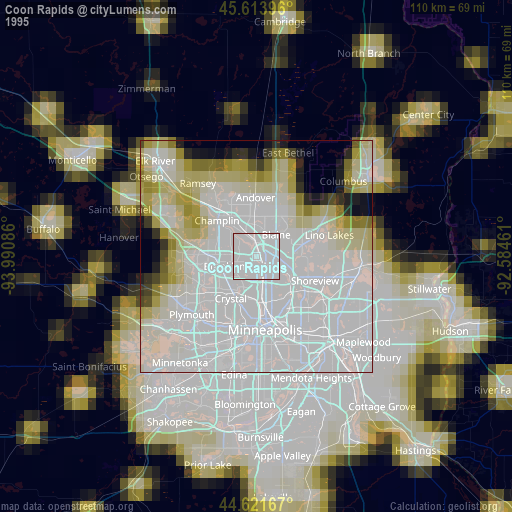
» NASA, Earths city lights 1995
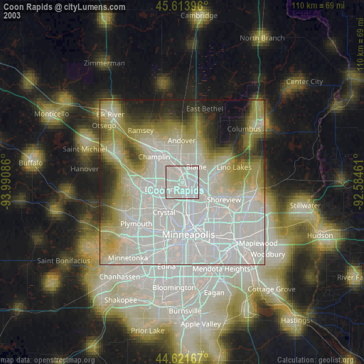
» NASA city lights 2003
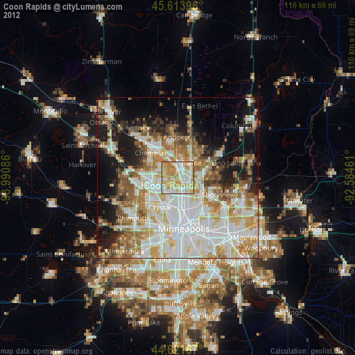
» Earth at Night: Flat Maps 2012, 2016