Brooklyn Center night lights from space
Night Light of Brooklyn Center (Minnesota) from space (United States) Src. Average luminocity for 10x10km area is 91.5394% and for 50x50km: 56.8344%.
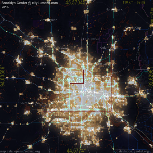
Analysis of Brooklyn Center night lights 2016
Square area 10x10 km:
 30.91%
90-99
31.97%80-89
20.3%70-79
15%60-69
1.82%50-59
0%40-49
0%30-39
0%20-29
0%10-19
0%0-9
0%Square area 50x50 km:
16.67%90-99
13.54%80-89
6.44%70-79
7.34%60-69
8.28%50-59
6.2%40-49
5.1%30-39
3.58%20-29
6.6%10-19
11.99%0-9
14.27%Clear (daylight) street map image can be seen on geolist.org.
Map coordinates:
45° 34' 13.6" North, 94° 2' 9.1" West
45° 4' 33.9" North, 93° 19' 57.8" West
44° 34' 38.6" North, 92° 37' 46.6" West
Some cities around Brooklyn Center sort by population:
• Coon Rapids
6 km =3.7 mi,  35°
35°
• Fridley
5.6 km =3.5 mi,  78°
78°
• Crystal
5.3 km =3.3 mi,  204°
204°
• Golden Valley
7.5 km =4.7 mi,  189°
189°
• New Hope
6 km =3.7 mi,  225°
225°
• Columbia Heights
6.7 km =4.2 mi,  125°
125°
• Robbinsdale
4.9 km =3 mi, 185°
• Spring Lake Park
8.2 km =5.1 mi,  64°
64°
5019330 (p: 30,770)
Sources (retrieved 2019-11-25):
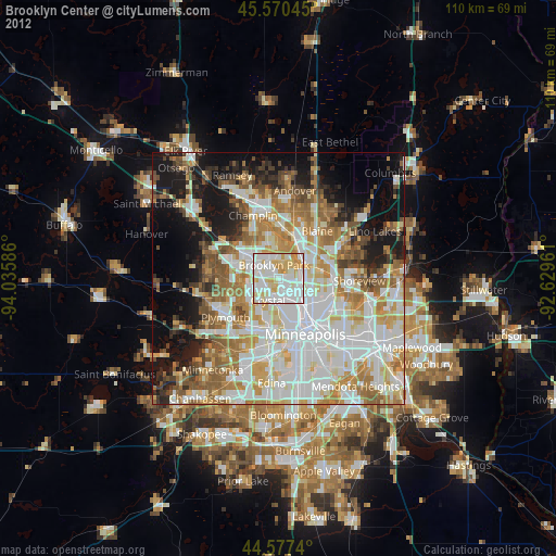
» Earth at Night: Flat Maps 2012, 2016