Mint Hill night lights from space
Night Light of Mint Hill (North Carolina) from space (United States) Src. Average luminocity for 10x10km area is 68.0192% and for 50x50km: 58.0027%.
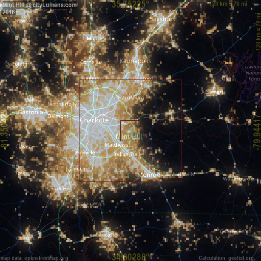
Analysis of Mint Hill night lights 2016
Square area 10x10 km:
 4.55%
4.55%90-99
5.07%80-89
17.31%70-79
22.73%60-69
25.35%50-59
7.52%40-49
8.92%30-39
4.55%20-29
3.32%10-19
0.7%0-9
0%Square area 50x50 km:
14.4%90-99
12.35%80-89
12.42%70-79
10.85%60-69
9.01%50-59
3.62%40-49
3.42%30-39
3.61%20-29
4.1%10-19
6.67%0-9
19.57%Clear (daylight) street map image can be seen on geolist.org.
Map coordinates:
35° 45' 8.1" North, 81° 21' 1.5" West
35° 10' 46.5" North, 80° 38' 50.2" West
34° 36' 10.3" North, 79° 56' 39" West
Some cities around Mint Hill sort by population:
• Charlotte
18.6 km =11.6 mi,  286°
286°
• Indian Trail
11.6 km =7.2 mi,  189°
189°
• Matthews
9.8 km =6.1 mi,  224°
224°
• Stallings
10.5 km =6.5 mi,  199°
199°
• Harrisburg
16.1 km =10 mi,  356°
356°
• Weddington
20.3 km =12.6 mi,  210°
210°
• Wesley Chapel
19.3 km =12 mi, 187°
• Unionville
16.2 km =10.1 mi,  129°
129°
4479759 (p: 25,627)
Sources (retrieved 2019-11-25):
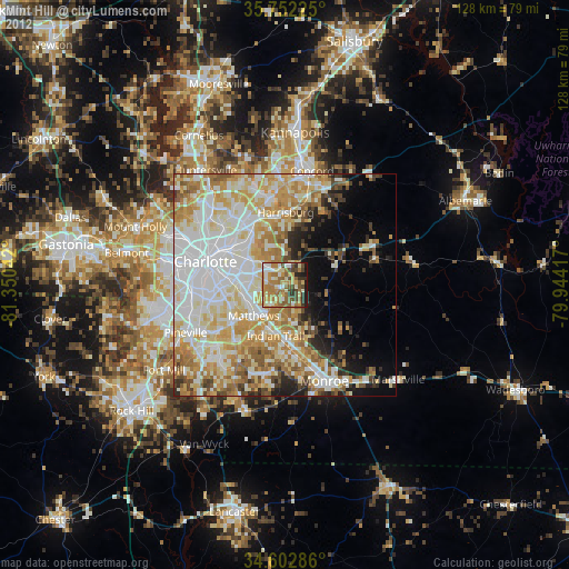
» Earth at Night: Flat Maps 2012, 2016