Norfolk night lights from space
Night Light of Norfolk (Nebraska) from space (United States) Src. Average luminocity for 10x10km area is 45.7% and for 50x50km: 2.8994%.
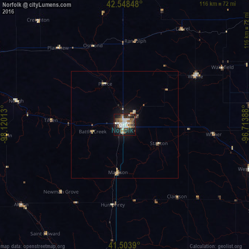
Analysis of Norfolk night lights 2016
Square area 10x10 km:
 10.32%
90-99
10.32%80-89
1.75%70-79
3.49%60-69
5.87%50-59
7.94%40-49
8.73%30-39
5.87%20-29
12.06%10-19
28.1%0-9
5.56%Square area 50x50 km:
0.43%90-99
0.49%80-89
0.32%70-79
0.25%60-69
0.3%50-59
0.5%40-49
0.47%30-39
0.35%20-29
0.68%10-19
2.2%0-9
94.02%Clear (daylight) street map image can be seen on geolist.org.
Map coordinates:
42° 32' 54.5" North, 98° 7' 12.5" West
42° 1' 42" North, 97° 25' 1.2" West
41° 30' 14" North, 96° 42' 50" West
Some cities around Norfolk sort by population:
• Sioux City
98.7 km =61.3 mi,  57°
57°
• Fremont
101 km =62.8 mi,  130°
130°
• Columbus
66.7 km =41.4 mi,  176°
176°
• Yankton
93.7 km =58.2 mi,  0°
0°
• South Sioux City
96.3 km =59.8 mi, 59°
• Vermillion
92.6 km =57.5 mi,  25°
25°
• Schuyler
71.1 km =44.2 mi,  155°
155°
• Wayne
39.9 km =24.8 mi, 55°
5073965 (p: 24,366)
Sources (retrieved 2019-11-25):
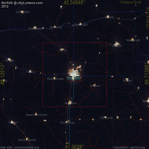
» Earth at Night: Flat Maps 2012, 2016