Collinsville night lights from space
Night Light of Collinsville (Illinois) from space (United States) Src. Average luminocity for 10x10km area is 65.2922% and for 50x50km: 47.8654%.
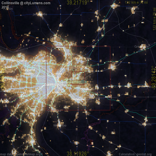
Analysis of Collinsville night lights 2016
Square area 10x10 km:
 6.49%
6.49%90-99
11.36%80-89
9.09%70-79
8.93%60-69
21.92%50-59
20.45%40-49
9.74%30-39
10.88%20-29
1.14%10-19
0%0-9
0%Square area 50x50 km:
10.41%90-99
9.76%80-89
6.54%70-79
6.83%60-69
8.04%50-59
7.41%40-49
5.53%30-39
5.25%20-29
8.1%10-19
8.84%0-9
23.3%Clear (daylight) street map image can be seen on geolist.org.
Map coordinates:
39° 13' 1.9" North, 90° 41' 15.6" West
38° 40' 13.2" North, 89° 59' 4.4" West
38° 7' 9.3" North, 89° 16' 53.1" West
Some cities around Collinsville sort by population:
• Granite City
14.7 km =9.1 mi,  283°
283°
• O'Fallon
10.8 km =6.7 mi,  143°
143°
• Fairview Heights
9.1 km =5.7 mi,  183°
183°
• Glen Carbon
8.7 km =5.4 mi,  0°
0°
• Shiloh
14.3 km =8.9 mi,  147°
147°
• Troy
11 km =6.8 mi,  53°
53°
• Maryville
6.4 km =4 mi,  22°
22°
• Pontoon Beach
10.8 km =6.7 mi,  309°
309°
4236191 (p: 24,754)
Sources (retrieved 2019-11-25):
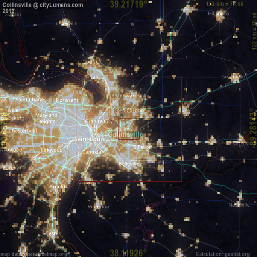
» Earth at Night: Flat Maps 2012, 2016