O'Fallon night lights from space
Night Light of O'Fallon (Illinois) from space (United States) Src. Average luminocity for 10x10km area is 69.3815% and for 50x50km: 37.2811%.
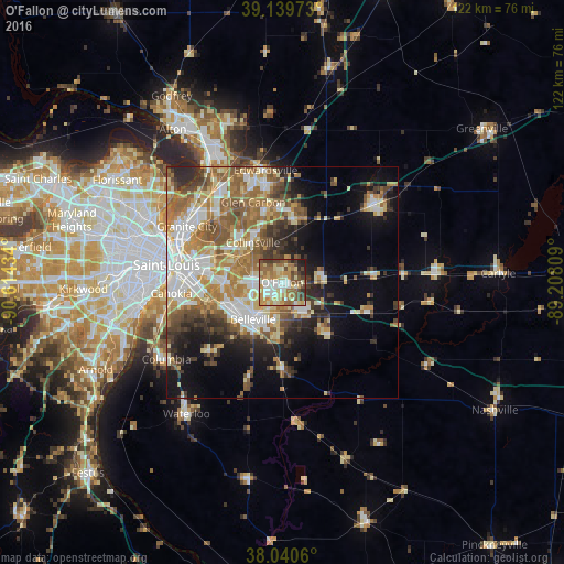
Analysis of O'Fallon night lights 2016
Square area 10x10 km:
 8.6%
8.6%90-99
15.1%80-89
16.23%70-79
13.8%60-69
12.66%50-59
11.2%40-49
10.88%30-39
5.52%20-29
4.06%10-19
1.95%0-9
0%Square area 50x50 km:
6.01%90-99
7.45%80-89
5.31%70-79
5.3%60-69
6.92%50-59
6.63%40-49
4.35%30-39
4.92%20-29
5.73%10-19
9.99%0-9
37.39%Clear (daylight) street map image can be seen on geolist.org.
Map coordinates:
39° 8' 23" North, 90° 36' 51.6" West
38° 35' 32.2" North, 89° 54' 40.4" West
38° 2' 26.2" North, 89° 12' 29.1" West
Some cities around O'Fallon sort by population:
• Belleville
10.2 km =6.3 mi,  218°
218°
• Collinsville
10.8 km =6.7 mi,  323°
323°
• Fairview Heights
6.9 km =4.3 mi,  266°
266°
• Swansea
9.4 km =5.8 mi,  226°
226°
• Shiloh
3.6 km =2.2 mi,  160°
160°
• Troy
15.4 km =9.6 mi,  9°
9°
• Mascoutah
15.3 km =9.5 mi,  137°
137°
• Maryville
15.1 km =9.4 mi,  345°
345°
4245926 (p: 29,002)
Sources (retrieved 2019-11-25):
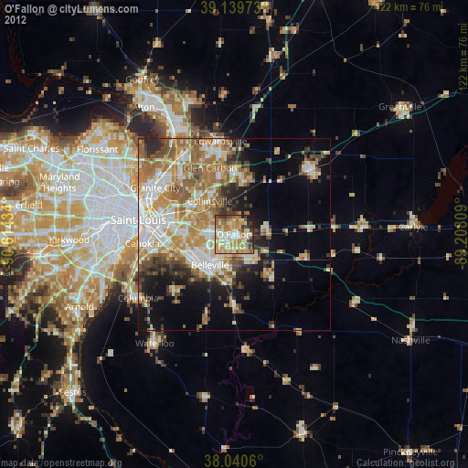
» Earth at Night: Flat Maps 2012, 2016