Ontario night lights from space
Night Light of Ontario (California) from space (United States) Src. Average luminocity for 10x10km area is 96.9336% and for 50x50km: 59.9476%.
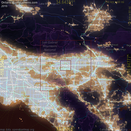
Analysis of Ontario night lights 2016
Square area 10x10 km:
 47.55%
90-99
41.08%80-89
9.44%70-79
1.92%60-69
0%50-59
0%40-49
0%30-39
0%20-29
0%10-19
0%0-9
0%Square area 50x50 km:
15.61%90-99
15.28%80-89
7.11%70-79
10.52%60-69
12.41%50-59
5.64%40-49
4.65%30-39
2.81%20-29
2.71%10-19
4.24%0-9
19.02%Clear (daylight) street map image can be seen on geolist.org.
Map coordinates:
34° 38' 37.7" North, 118° 21' 14.5" West
34° 3' 48" North, 117° 39' 3.2" West
33° 28' 43.9" North, 116° 56' 52" West
Some cities around Ontario sort by population:
• Rancho Cucamonga
7.2 km =4.5 mi,  48°
48°
• Pomona
9.4 km =5.8 mi,  264°
264°
• Chino
6.7 km =4.2 mi,  211°
211°
• Upland
3.8 km =2.4 mi,  3°
3°
• Montclair
3.9 km =2.4 mi,  293°
293°
• Claremont
7.3 km =4.5 mi,  300°
300°
• La Verne
11.5 km =7.1 mi, 291°
• Los Serranos
11.4 km =7.1 mi, 207°
5379439 (p: 171,214)
Sources (retrieved 2019-11-25):
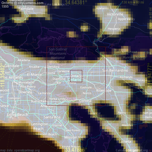
» NASA, Earths city lights 1995
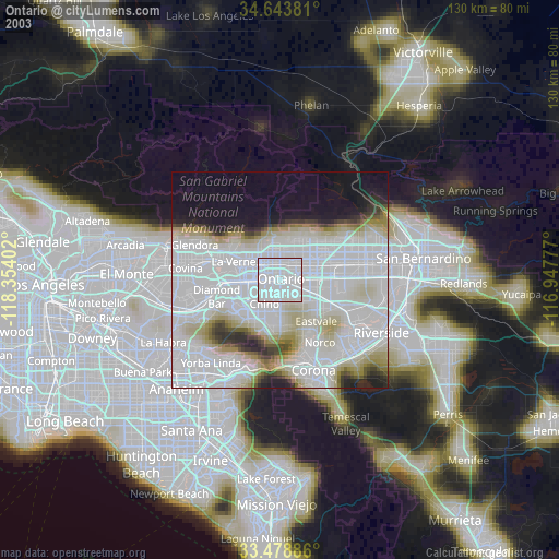
» NASA city lights 2003
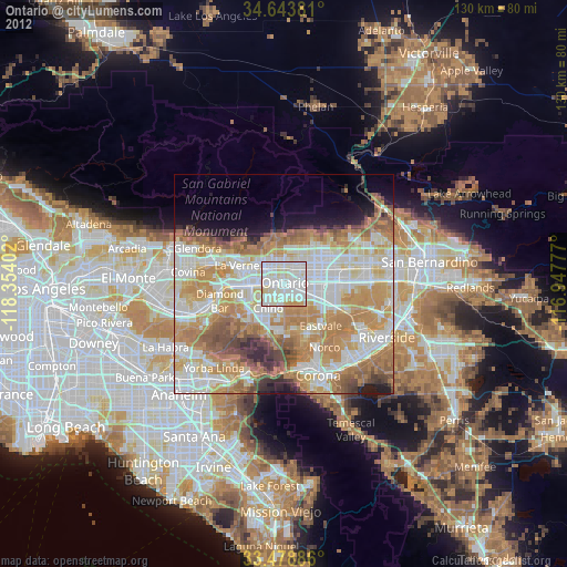
» Earth at Night: Flat Maps 2012, 2016