Claremont night lights from space
Night Light of Claremont (California) from space (United States) Src. Average luminocity for 10x10km area is 88.9451% and for 50x50km: 55.261%.
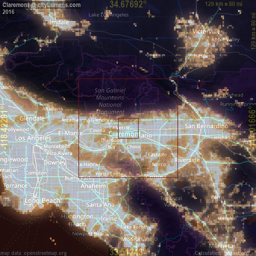
Analysis of Claremont night lights 2016
Square area 10x10 km:
 33.7%
33.7%90-99
31.87%80-89
9.34%70-79
8.24%60-69
10.62%50-59
6.04%40-49
0.18%30-39
0%20-29
0%10-19
0%0-9
0%Square area 50x50 km:
15.43%90-99
14.9%80-89
6.23%70-79
9.63%60-69
10.45%50-59
4.49%40-49
3.67%30-39
1.99%20-29
2.18%10-19
4.09%0-9
26.94%Clear (daylight) street map image can be seen on geolist.org.
Map coordinates:
34° 40' 36.9" North, 118° 25' 22.5" West
34° 5' 48" North, 117° 43' 11.2" West
33° 30' 44.7" North, 117° 0' 60" West
Some cities around Claremont sort by population:
• Ontario
7.3 km =4.5 mi,  120°
120°
• Pomona
5.5 km =3.4 mi,  213°
213°
• Chino
9.8 km =6.1 mi,  163°
163°
• Upland
6.6 km =4.1 mi,  89°
89°
• Diamond Bar
11.3 km =7 mi,  227°
227°
• Montclair
3.5 km =2.2 mi,  127°
127°
• San Dimas
8.1 km =5 mi,  277°
277°
• La Verne
4.4 km =2.7 mi, 275°
5337696 (p: 36,283)
Sources (retrieved 2019-11-25):
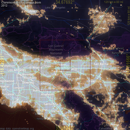
» Earth at Night: Flat Maps 2012, 2016