Montclair night lights from space
Night Light of Montclair (California) from space (United States) Src. Average luminocity for 10x10km area is 94.5542% and for 50x50km: 58.2441%.
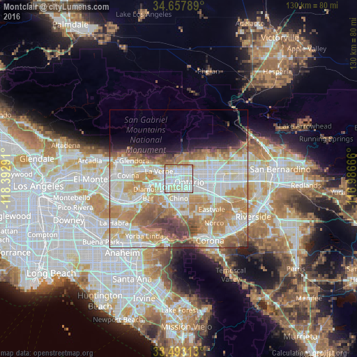
Analysis of Montclair night lights 2016
Square area 10x10 km:
 37.59%
90-99
39.86%80-89
16.08%70-79
4.72%60-69
1.75%50-59
0%40-49
0%30-39
0%20-29
0%10-19
0%0-9
0%Square area 50x50 km:
15.85%90-99
15.47%80-89
6.67%70-79
10.06%60-69
11.47%50-59
4.99%40-49
4.22%30-39
2.41%20-29
2.26%10-19
4.08%0-9
22.54%Clear (daylight) street map image can be seen on geolist.org.
Map coordinates:
34° 39' 28.4" North, 118° 23' 34.5" West
34° 4' 39" North, 117° 41' 23.2" West
33° 29' 35.3" North, 116° 59' 12" West
Some cities around Montclair sort by population:
• Rancho Cucamonga
9.5 km =5.9 mi,  70°
70°
• Ontario
3.9 km =2.4 mi,  113°
113°
• Pomona
6.3 km =3.9 mi,  246°
246°
• Chino
7.3 km =4.5 mi,  179°
179°
• Upland
4.4 km =2.7 mi,  59°
59°
• Claremont
3.5 km =2.2 mi,  307°
307°
• San Dimas
11.2 km =7 mi,  286°
286°
• La Verne
7.6 km =4.7 mi, 289°
5374232 (p: 38,690)
Sources (retrieved 2019-11-25):
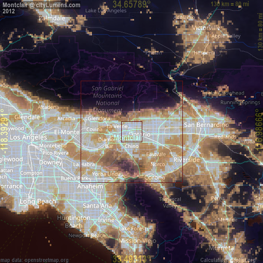
» Earth at Night: Flat Maps 2012, 2016