Los Serranos night lights from space
Night Light of Los Serranos (California) from space (United States) Src. Average luminocity for 10x10km area is 74.2273% and for 50x50km: 70.5164%.
Analysis of Los Serranos night lights 2016
Square area 10x10 km:
 18.53%
90-99
20.45%80-89
4.37%70-79
9.27%60-69
16.96%50-59
13.46%40-49
10.84%30-39
6.12%20-29
0%10-19
0%0-9
0%Square area 50x50 km:
20.6%90-99
18.64%80-89
7.17%70-79
11.18%60-69
12.96%50-59
6.25%40-49
5.53%30-39
3.55%20-29
3.68%10-19
6.08%0-9
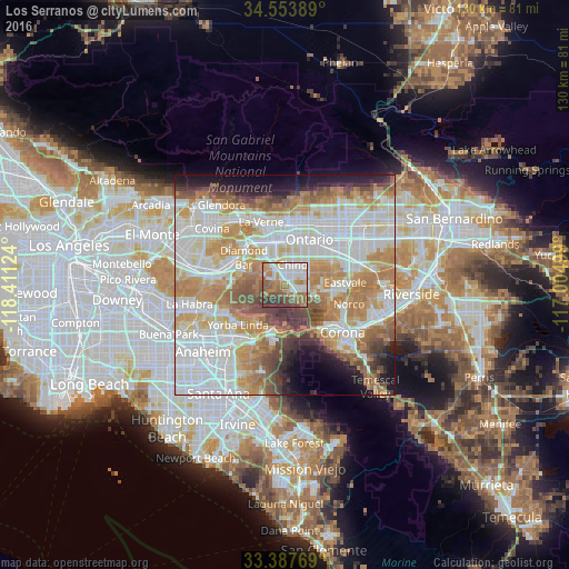
4.34%Clear (daylight) street map image can be seen on geolist.org.
Map coordinates:
34° 33' 14" North, 118° 24' 40.5" West
33° 58' 22" North, 117° 42' 29.2" West
33° 23' 15.7" North, 117° 0' 18" West
Some cities around Los Serranos sort by population:
• Ontario
11.4 km =7.1 mi,  27°
27°
• Pomona
10 km =6.2 mi,  336°
336°
• Chino
4.7 km =2.9 mi,  21°
21°
• Chino Hills
5.2 km =3.2 mi,  296°
296°
• Yorba Linda
13.5 km =8.4 mi,  225°
225°
• Eastvale
13.3 km =8.3 mi,  94°
94°
• Diamond Bar
11.3 km =7 mi, 303°
• Montclair
11.8 km =7.3 mi,  8°
8°
5368618 (p: 7,099)
Sources (retrieved 2019-11-25):
» Earth at Night: Flat Maps 2012, 2016