South Oroville night lights from space
Night Light of South Oroville (California) from space (United States) Src. Average luminocity for 10x10km area is 30.8815% and for 50x50km: 2.9503%.
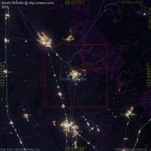
Analysis of South Oroville night lights 2016
Square area 10x10 km:
 1.79%
1.79%90-99
2.6%80-89
0.49%70-79
8.44%60-69
6.66%50-59
5.36%40-49
7.63%30-39
9.25%20-29
3.25%10-19
28.73%0-9
25.81%Square area 50x50 km:
0.19%90-99
0.21%80-89
0.09%70-79
0.74%60-69
0.52%50-59
0.38%40-49
0.58%30-39
0.77%20-29
0.56%10-19
2.1%0-9
93.87%Clear (daylight) street map image can be seen on geolist.org.
Map coordinates:
40° 2' 13.2" North, 122° 15' 19.2" West
39° 29' 47.6" North, 121° 33' 7.9" West
38° 57' 6.7" North, 120° 50' 56.7" West
Some cities around South Oroville sort by population:
• Paradise
29.9 km =18.6 mi,  348°
348°
• Oroville
2 km =1.2 mi, 346°
• Live Oak
26.2 km =16.3 mi,  200°
200°
• Oroville East
6.8 km =4.2 mi,  76°
76°
• Thermalito
3.4 km =2.1 mi,  298°
298°
• Gridley
19.1 km =11.9 mi,  219°
219°
• Durham
27 km =16.8 mi,  308°
308°
• Palermo
6.9 km =4.3 mi,  169°
169°
5397700 (p: 5,742)
Sources (retrieved 2019-11-25):
» Earth at Night: Flat Maps 2012, 2016