Austin night lights from space
Night Light of Austin (Minnesota) from space (United States) Src. Average luminocity for 10x10km area is 31.047% and for 50x50km: 2.1641%.
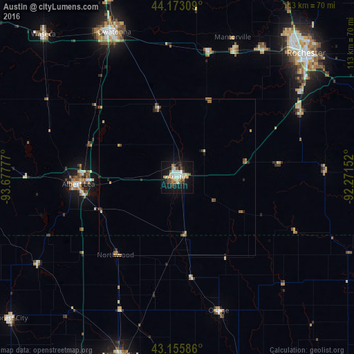
Analysis of Austin night lights 2016
Square area 10x10 km:
 5.3%
5.3%90-99
5.76%80-89
2.88%70-79
5.61%60-69
3.03%50-59
2.42%40-49
5.61%30-39
1.82%20-29
3.64%10-19
33.64%0-9
30.3%Square area 50x50 km:
0.23%90-99
0.26%80-89
0.24%70-79
0.44%60-69
0.3%50-59
0.26%40-49
0.41%30-39
0.15%20-29
0.37%10-19
1.59%0-9
95.75%Clear (daylight) street map image can be seen on geolist.org.
Map coordinates:
44° 10' 23.1" North, 93° 40' 40" West
43° 39' 59.9" North, 92° 58' 28.7" West
43° 9' 21.1" North, 92° 16' 17.5" West
Some cities around Austin sort by population:
• Rochester
56.5 km =35.1 mi,  45°
45°
• Mason City
59.9 km =37.2 mi,  197°
197°
• Owatonna
50.6 km =31.4 mi,  336°
336°
• Albert Lea
31.7 km =19.7 mi,  266°
266°
• Waseca
62.6 km =38.9 mi,  316°
316°
• Kasson
44.2 km =27.5 mi,  23°
23°
• Stewartville
44.3 km =27.5 mi,  61°
61°
• Byron
48.5 km =30.1 mi,  32°
32°
5016884 (p: 24,563)
Sources (retrieved 2019-11-25):
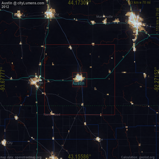
» Earth at Night: Flat Maps 2012, 2016