Mason City night lights from space
Night Light of Mason City (Iowa) from space (United States) Src. Average luminocity for 10x10km area is 39.0273% and for 50x50km: 3.5699%.
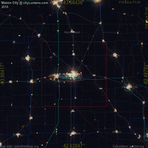
Analysis of Mason City night lights 2016
Square area 10x10 km:
 6.82%
6.82%90-99
7.27%80-89
3.48%70-79
5.76%60-69
5.3%50-59
4.24%40-49
5.15%30-39
4.39%20-29
11.67%10-19
33.18%0-9
12.73%Square area 50x50 km:
0.43%90-99
0.43%80-89
0.54%70-79
0.42%60-69
0.35%50-59
0.51%40-49
0.41%30-39
0.54%20-29
0.91%10-19
2.92%0-9
92.56%Clear (daylight) street map image can be seen on geolist.org.
Map coordinates:
43° 39' 51.7" North, 93° 54' 15" West
43° 9' 12.9" North, 93° 12' 3.7" West
42° 38' 18.5" North, 92° 29' 52.5" West
Some cities around Mason City sort by population:
• Austin
59.9 km =37.2 mi,  17°
17°
• Albert Lea
56.6 km =35.2 mi,  346°
346°
• Waverly
75.8 km =47.1 mi,  128°
128°
• Webster City
91.1 km =56.6 mi,  213°
213°
• Clear Lake
14.6 km =9.1 mi,  263°
263°
• Charles City
44 km =27.3 mi,  102°
102°
• Algona
84.3 km =52.4 mi, 263°
• Iowa Falls
70.3 km =43.7 mi,  183°
183°
4866445 (p: 27,366)
Sources (retrieved 2019-11-25):
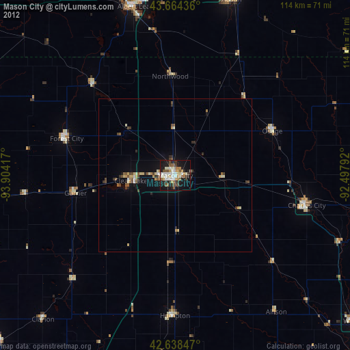
» Earth at Night: Flat Maps 2012, 2016