Champlin night lights from space
Night Light of Champlin (Minnesota) from space (United States) Src. Average luminocity for 10x10km area is 66.3288% and for 50x50km: 36.8882%.
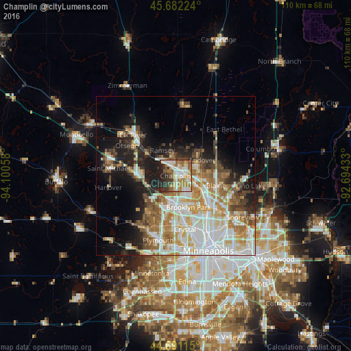
Analysis of Champlin night lights 2016
Square area 10x10 km:
 15.45%
90-99
12.42%80-89
10.3%70-79
11.52%60-69
9.7%50-59
11.52%40-49
5%30-39
10%20-29
11.97%10-19
2.12%0-9
0%Square area 50x50 km:
9.6%90-99
7.81%80-89
4.37%70-79
4.59%60-69
5.45%50-59
4.4%40-49
4.11%30-39
3.2%20-29
5.45%10-19
11.05%0-9
39.97%Clear (daylight) street map image can be seen on geolist.org.
Map coordinates:
45° 40' 56.1" North, 94° 6' 2.1" West
45° 11' 19.9" North, 93° 23' 50.8" West
44° 41' 28.1" North, 92° 41' 39.6" West
Some cities around Champlin sort by population:
• Brooklyn Park
11 km =6.8 mi,  162°
162°
• West Coon Rapids
5 km =3.1 mi,  130°
130°
• Coon Rapids
11.5 km =7.1 mi, 131°
• Andover
9.7 km =6 mi,  59°
59°
• Ramsey
9 km =5.6 mi,  332°
332°
• Anoka
1.3 km =0.8 mi,  39°
39°
• Rogers
12.2 km =7.6 mi,  270°
270°
• Dayton
11.1 km =6.9 mi,  303°
303°
5020859 (p: 23,894)
Sources (retrieved 2019-11-25):
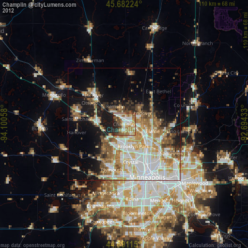
» Earth at Night: Flat Maps 2012, 2016