Ramsey night lights from space
Night Light of Ramsey (Minnesota) from space (United States) Src. Average luminocity for 10x10km area is 26.7758% and for 50x50km: 25.976%.
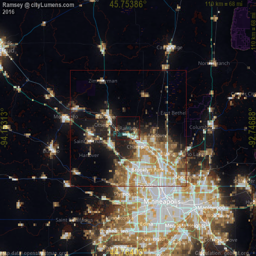
Analysis of Ramsey night lights 2016
Square area 10x10 km:
 4.24%
4.24%90-99
3.94%80-89
1.52%70-79
1.82%60-69
1.82%50-59
6.52%40-49
2.88%30-39
4.7%20-29
9.55%10-19
34.24%0-9
28.79%Square area 50x50 km:
4.88%90-99
5.01%80-89
3.12%70-79
3.37%60-69
4.5%50-59
3.8%40-49
3.63%30-39
3.02%20-29
4.73%10-19
9.96%0-9
53.99%Clear (daylight) street map image can be seen on geolist.org.
Map coordinates:
45° 45' 13.9" North, 94° 9' 11.3" West
45° 15' 40" North, 93° 27' 0" West
44° 45' 50.5" North, 92° 44' 48.8" West
Some cities around Ramsey sort by population:
• Andover
12.8 km =8 mi,  103°
103°
• Elk River
10.3 km =6.4 mi,  297°
297°
• Champlin
9 km =5.6 mi,  152°
152°
• Anoka
8.6 km =5.3 mi, 145°
• Otsego
11.2 km =7 mi,  277°
277°
• Rogers
11.4 km =7.1 mi,  225°
225°
• Oak Grove
13.1 km =8.1 mi,  47°
47°
• Dayton
5.4 km =3.4 mi,  249°
249°
5042561 (p: 25,828)
Sources (retrieved 2019-11-25):
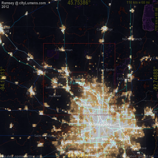
» Earth at Night: Flat Maps 2012, 2016