Avenel night lights from space
Night Light of Avenel (New Jersey) from space (United States) Src. Average luminocity for 10x10km area is 95.5552% and for 50x50km: 72.8672%.
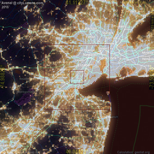
Analysis of Avenel night lights 2016
Square area 10x10 km:
100  45.78%
90-99 33.28%
80-89 16.23%
70-79 4.55%
60-69 0.16%
50-59 0%
40-49 0%
30-39 0%
20-29 0%
10-19 0%
0-9 0%
45.78%90-99
33.28%80-89
16.23%70-79
4.55%60-69
0.16%50-59
0%40-49
0%30-39
0%20-29
0%10-19
0%0-9
0%Square area 50x50 km:
100 25.16%
90-99 16.89%
80-89 8.31%
70-79 10.29%
60-69 10.17%
50-59 8.72%
40-49 4.79%
30-39 3.85%
20-29 4.57%
10-19 4.06%
0-9 3.2%
25.16%90-99
16.89%80-89
8.31%70-79
10.29%60-69
10.17%50-59
8.72%40-49
4.79%30-39
3.85%20-29
4.57%10-19
4.06%0-9
3.2%Clear (daylight) street map image can be seen on geolist.org.
Map coordinates:
41° 6' 44.2" North, 74° 59' 17.8" West
40° 34' 49.4" North, 74° 17' 6.5" West
40° 2' 39.2" North, 73° 34' 55.3" West
Some cities around Avenel sort by population:
• Linden
5.8 km =3.6 mi,  36°
36°
• Rahway
3.2 km =2 mi,  11°
11°
• Carteret
4.8 km =3 mi,  94°
94°
• Woodbridge
2.5 km =1.6 mi,  178°
178°
• Rossville
6.6 km =4.1 mi,  114°
114°
• Iselin
3.2 km =2 mi,  259°
259°
• Colonia
1.6 km =1 mi,  245°
245°
• Fords
6.3 km =3.9 mi,  204°
204°
5095325 (p: 17,011)
Sources (retrieved 2019-11-25):
» Earth at Night: Flat Maps 2012, 2016