Storm Lake night lights from space
Night Light of Storm Lake (Iowa) from space (United States) Src. Average luminocity for 10x10km area is 17.9682% and for 50x50km: 1.4101%.
Analysis of Storm Lake night lights 2016
Square area 10x10 km:
 3.33%
3.33%90-99
3.33%80-89
3.03%70-79
1.06%60-69
0.45%50-59
1.67%40-49
2.27%30-39
1.67%20-29
1.97%10-19
11.67%0-9
69.55%Square area 50x50 km:
0.14%90-99
0.15%80-89
0.27%70-79
0.11%60-69
0.2%50-59
0.22%40-49
0.29%30-39
0.13%20-29
0.18%10-19
0.62%0-9
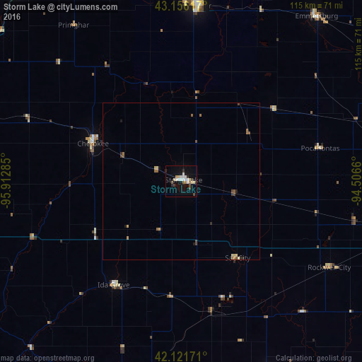
97.69%Clear (daylight) street map image can be seen on geolist.org.
Map coordinates:
43° 9' 22.2" North, 95° 54' 46.3" West
42° 38' 27.9" North, 95° 12' 35" West
42° 7' 18.2" North, 94° 30' 23.8" West
Some cities around Storm Lake sort by population:
• Fort Dodge
86.8 km =53.9 mi,  100°
100°
• Spencer
55.9 km =34.7 mi,  5°
5°
• Carroll
69.9 km =43.4 mi,  156°
156°
• Le Mars
79.9 km =49.6 mi,  282°
282°
• Denison
70.3 km =43.7 mi,  189°
189°
• Orange City
80.3 km =49.9 mi,  300°
300°
• Sheldon
79.9 km =49.6 mi,  318°
318°
• Cherokee
30.4 km =18.9 mi,  293°
293°
4877655 (p: 10,910)
Sources (retrieved 2019-11-25):
» Earth at Night: Flat Maps 2012, 2016