Fort Dodge night lights from space
Night Light of Fort Dodge (Iowa) from space (United States) Src. Average luminocity for 10x10km area is 39.773% and for 50x50km: 3.0232%.
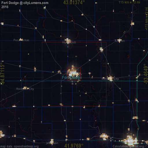
Analysis of Fort Dodge night lights 2016
Square area 10x10 km:
 5.71%
5.71%90-99
7.14%80-89
4.44%70-79
5.4%60-69
6.67%50-59
4.6%40-49
7.3%30-39
4.44%20-29
9.84%10-19
32.7%0-9
11.75%Square area 50x50 km:
0.3%90-99
0.33%80-89
0.4%70-79
0.31%60-69
0.41%50-59
0.45%40-49
0.56%30-39
0.5%20-29
0.72%10-19
2.17%0-9
93.84%Clear (daylight) street map image can be seen on geolist.org.
Map coordinates:
43° 0' 49.5" North, 94° 52' 16.1" West
42° 29' 50.9" North, 94° 10' 4.9" West
41° 58' 36.8" North, 93° 27' 53.6" West
Some cities around Fort Dodge sort by population:
• Ames
68.4 km =42.5 mi,  138°
138°
• Boone
54.1 km =33.6 mi,  154°
154°
• Carroll
74.9 km =46.5 mi,  230°
230°
• Perry
73.4 km =45.6 mi,  176°
176°
• Webster City
29 km =18 mi,  96°
96°
• Centerville
48.9 km =30.4 mi,  156°
156°
• Algona
63.9 km =39.7 mi,  355°
355°
• Iowa Falls
75.2 km =46.7 mi,  87°
87°
4857486 (p: 24,649)
Sources (retrieved 2019-11-25):
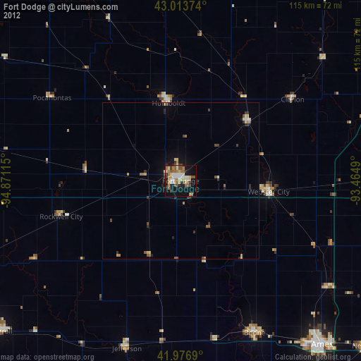
» Earth at Night: Flat Maps 2012, 2016