Perry night lights from space
Night Light of Perry (Iowa) from space (United States) Src. Average luminocity for 10x10km area is 11.3254% and for 50x50km: 3.9637%.
Analysis of Perry night lights 2016
Square area 10x10 km:
 1.43%
1.43%90-99
1.27%80-89
3.02%70-79
0.95%60-69
2.22%50-59
0.32%40-49
1.59%30-39
0%20-29
1.27%10-19
0.48%0-9
87.46%Square area 50x50 km:
0.36%90-99
0.44%80-89
0.76%70-79
0.54%60-69
0.74%50-59
0.34%40-49
0.64%30-39
0.54%20-29
0.93%10-19
1.72%0-9
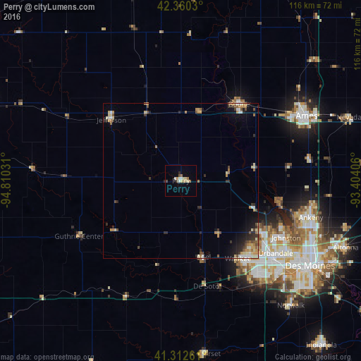
92.98%Clear (daylight) street map image can be seen on geolist.org.
Map coordinates:
42° 21' 37.1" North, 94° 48' 37.1" West
41° 50' 19" North, 94° 6' 25.8" West
41° 18' 45.4" North, 93° 24' 14.6" West
Some cities around Perry sort by population:
• Ankeny
43.3 km =26.9 mi,  106°
106°
• Urbandale
40.4 km =25.1 mi,  125°
125°
• Johnston
38.6 km =24 mi,  118°
118°
• Waukee
31.2 km =19.4 mi,  143°
143°
• Clive
41.2 km =25.6 mi, 129°
• Boone
30.9 km =19.2 mi,  37°
37°
• Grimes
31.1 km =19.3 mi, 122°
• Centerville
31.6 km =19.6 mi,  26°
26°
4871019 (p: 8,089)
Sources (retrieved 2019-11-25):
» Earth at Night: Flat Maps 2012, 2016