Carlinville night lights from space
Night Light of Carlinville (Illinois) from space (United States) Src. Average luminocity for 10x10km area is 13.898% and for 50x50km: 3.0982%.
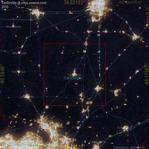
Analysis of Carlinville night lights 2016
Square area 10x10 km:
 0.68%
0.68%90-99
1.19%80-89
2.21%70-79
1.36%60-69
2.04%50-59
3.74%40-49
4.08%30-39
2.21%20-29
0.85%10-19
0.51%0-9
81.12%Square area 50x50 km:
0.13%90-99
0.22%80-89
0.38%70-79
0.49%60-69
0.63%50-59
0.49%40-49
0.61%30-39
0.51%20-29
0.59%10-19
0.65%0-9
95.31%Clear (daylight) street map image can be seen on geolist.org.
Map coordinates:
39° 49' 18.9" North, 90° 35' 5.6" West
39° 16' 47.2" North, 89° 52' 54.4" West
38° 44' 0.2" North, 89° 10' 43.1" West
Some cities around Carlinville sort by population:
• Upper Alton
47.1 km =29.3 mi,  209°
209°
• Godfrey
44.6 km =27.7 mi,  216°
216°
• Chatham
46.6 km =29 mi,  19°
19°
• Bethalto
43.4 km =27 mi,  198°
198°
• Jerseyville
42.4 km =26.3 mi,  245°
245°
• Litchfield
22.8 km =14.2 mi,  120°
120°
• Hillsboro
35.8 km =22.2 mi,  111°
111°
• Staunton
30.8 km =19.1 mi,  165°
165°
4235211 (p: 5,665)
Sources (retrieved 2019-11-25):
» Earth at Night: Flat Maps 2012, 2016