Jerseyville night lights from space
Night Light of Jerseyville (Illinois) from space (United States) Src. Average luminocity for 10x10km area is 16.5422% and for 50x50km: 5.7653%.
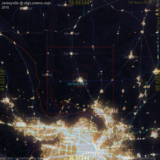
Analysis of Jerseyville night lights 2016
Square area 10x10 km:
 1.79%
1.79%90-99
2.6%80-89
1.62%70-79
0.65%60-69
2.44%50-59
4.55%40-49
1.79%30-39
3.08%20-29
2.92%10-19
5.52%0-9
73.05%Square area 50x50 km:
0.58%90-99
0.67%80-89
0.95%70-79
0.57%60-69
1.06%50-59
0.94%40-49
0.95%30-39
1.18%20-29
1.39%10-19
2.7%0-9
89.01%Clear (daylight) street map image can be seen on geolist.org.
Map coordinates:
39° 39' 48.4" North, 91° 1' 53.7" West
39° 7' 12.2" North, 90° 19' 42.4" West
38° 34' 20.8" North, 89° 37' 31.2" West
Some cities around Jerseyville sort by population:
• Upper Alton
27.8 km =17.3 mi,  146°
146°
• Alton
28.4 km =17.6 mi, 153°
• Old Jamestown
31.9 km =19.8 mi,  173°
173°
• Godfrey
22 km =13.7 mi, 146°
• Wood River
35 km =21.7 mi, 145°
• Bethalto
34.2 km =21.3 mi,  133°
133°
• Black Jack
36.7 km =22.8 mi, 171°
• East Alton
32.6 km =20.3 mi,  144°
144°
4241822 (p: 8,469)
Sources (retrieved 2019-11-25):
» Earth at Night: Flat Maps 2012, 2016