Cambridge night lights from space
Night Light of Cambridge (Minnesota) from space (United States) Src. Average luminocity for 10x10km area is 17.6015% and for 50x50km: 2.1359%.
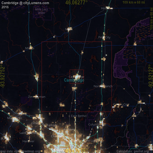
Analysis of Cambridge night lights 2016
Square area 10x10 km:
 2.58%
2.58%90-99
3.48%80-89
0.61%70-79
1.52%60-69
2.58%50-59
3.64%40-49
0.15%30-39
3.18%20-29
1.06%10-19
16.36%0-9
64.85%Square area 50x50 km:
0.12%90-99
0.22%80-89
0.19%70-79
0.24%60-69
0.43%50-59
0.4%40-49
0.35%30-39
0.4%20-29
0.4%10-19
0.89%0-9
96.36%Clear (daylight) street map image can be seen on geolist.org.
Map coordinates:
46° 3' 46" North, 93° 55' 39.1" West
45° 34' 21.9" North, 93° 13' 27.8" West
45° 4' 42.2" North, 92° 31' 16.6" West
Some cities around Cambridge sort by population:
• Ham Lake
35.9 km =22.3 mi,  183°
183°
• East Bethel
28.2 km =17.5 mi, 176°
• North Branch
20.2 km =12.6 mi,  109°
109°
• Oak Grove
27 km =16.8 mi,  197°
197°
• Wyoming
31.7 km =19.7 mi,  146°
146°
• Saint Francis
23.2 km =14.4 mi,  206°
206°
• Isanti
9.4 km =5.8 mi,  191°
191°
• Zimmerman
31.9 km =19.8 mi,  243°
243°
5020068 (p: 8,451)
Sources (retrieved 2019-11-25):
» Earth at Night: Flat Maps 2012, 2016