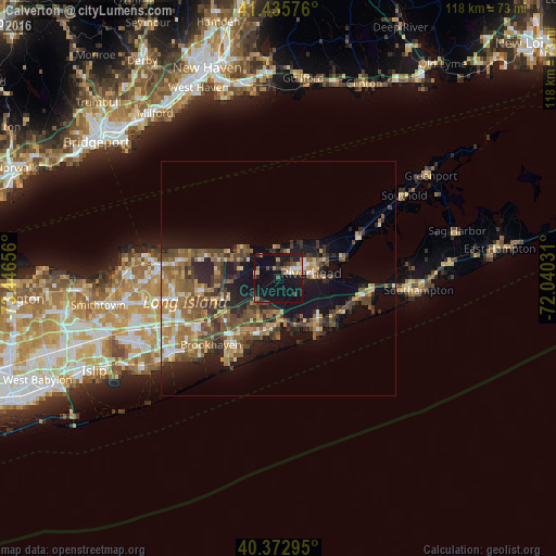
Calverton night lights from space
Night Light of Calverton (New York) from space (United States) Src. Average luminocity for 10x10km area is 23.0323% and for 50x50km: 17.3209%.
Analysis of Calverton night lights 2016
Square area 10x10 km:
 1.87%
1.87%90-99
2.38%80-89
2.38%70-79
3.23%60-69
1.87%50-59
2.72%40-49
3.23%30-39
2.04%20-29
4.59%10-19
55.44%0-9
20.24%Square area 50x50 km:
1.1%90-99
1.57%80-89
2.28%70-79
2.52%60-69
3.71%50-59
3.93%40-49
3.82%30-39
2.83%20-29
4.58%10-19
12.1%0-9
61.57%Clear (daylight) street map image can be seen on geolist.org.
Map coordinates:
41° 26' 8.7" North, 73° 26' 47.6" West
40° 54' 23.4" North, 72° 44' 36.3" West
40° 22' 22.6" North, 72° 2' 25.1" West
Some cities around Calverton sort by population:
• Mastic
14.2 km =8.8 mi,  215°
215°
• Manorville
6.5 km =4 mi,  236°
236°
• Ridge
12.9 km =8 mi,  263°
263°
• Riverhead
6.9 km =4.3 mi,  80°
80°
• Wading River
9.7 km =6 mi,  300°
300°
• Center Moriches
12.4 km =7.7 mi,  198°
198°
• East Shoreham
12.2 km =7.6 mi,  290°
290°
• East Moriches
11.4 km =7.1 mi,  187°
187°
5111137 (p: 6,510)
Sources (retrieved 2019-11-25):
» Earth at Night: Flat Maps 2012, 2016