Ridge night lights from space
Night Light of Ridge (New York) from space (United States) Src. Average luminocity for 10x10km area is 39.3214% and for 50x50km: 26.4759%.
Analysis of Ridge night lights 2016
Square area 10x10 km:
 1.19%
1.19%90-99
1.19%80-89
4.93%70-79
7.82%60-69
4.25%50-59
5.95%40-49
12.24%30-39
15.31%20-29
33.33%10-19
13.78%0-9
0%Square area 50x50 km:
2.79%90-99
3.58%80-89
3.49%70-79
5.37%60-69
5.61%50-59
5.26%40-49
4.3%30-39
3.04%20-29
5.28%10-19
13.72%0-9
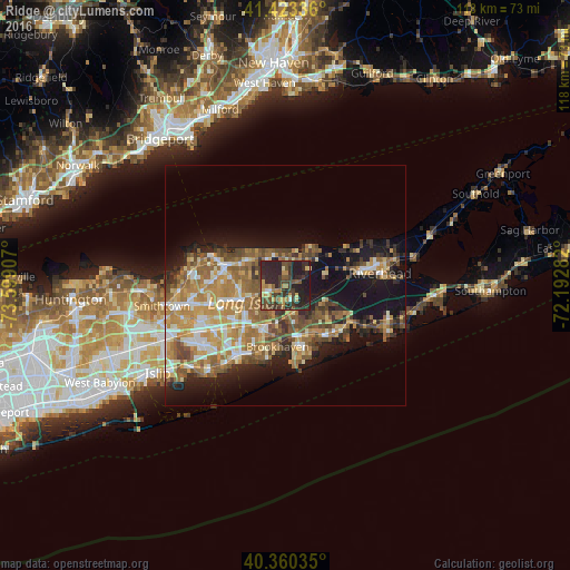
47.55%Clear (daylight) street map image can be seen on geolist.org.
Map coordinates:
41° 25' 24.1" North, 73° 35' 56.7" West
40° 53' 38.4" North, 72° 53' 45.4" West
40° 21' 37.3" North, 72° 11' 34.2" West
Some cities around Ridge sort by population:
• Coram
9.3 km =5.8 mi,  252°
252°
• Manorville
7.7 km =4.8 mi,  106°
106°
• Rocky Point
7 km =4.3 mi,  339°
339°
• Middle Island
3.6 km =2.2 mi, 252°
• Wading River
7.7 km =4.8 mi,  35°
35°
• Sound Beach
9.2 km =5.7 mi,  318°
318°
• East Shoreham
5.8 km =3.6 mi,  13°
13°
• Yaphank
6.6 km =4.1 mi,  195°
195°
5133832 (p: 13,336)
Sources (retrieved 2019-11-25):
» Earth at Night: Flat Maps 2012, 2016