Mount Pleasant night lights from space
Night Light of Mount Pleasant (Michigan) from space (United States) Src. Average luminocity for 10x10km area is 34.9182% and for 50x50km: 3.3487%.
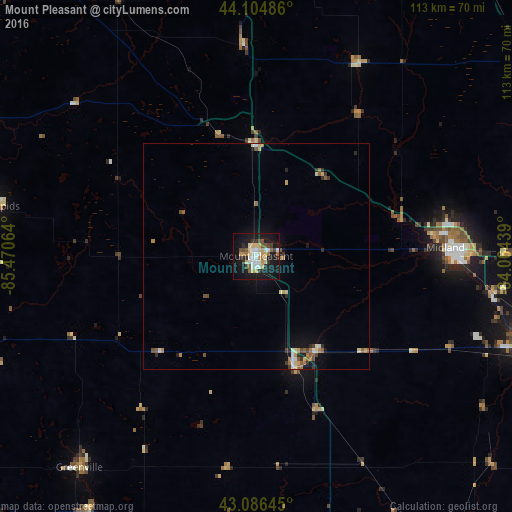
Analysis of Mount Pleasant night lights 2016
Square area 10x10 km:
 5.15%
5.15%90-99
6.52%80-89
6.36%70-79
4.39%60-69
2.58%50-59
3.64%40-49
3.64%30-39
4.24%20-29
5.61%10-19
39.85%0-9
18.03%Square area 50x50 km:
0.33%90-99
0.49%80-89
0.51%70-79
0.43%60-69
0.39%50-59
0.54%40-49
0.41%30-39
0.39%20-29
0.54%10-19
2.69%0-9
93.28%Clear (daylight) street map image can be seen on geolist.org.
Map coordinates:
44° 6' 17.5" North, 85° 28' 14.3" West
43° 35' 52.1" North, 84° 46' 3" West
43° 5' 11.2" North, 84° 3' 51.8" West
Some cities around Mount Pleasant sort by population:
• Midland
41.9 km =26 mi,  87°
87°
• Saginaw Township North
63.2 km =39.3 mi,  104°
104°
• Big Rapids
58.7 km =36.5 mi,  280°
280°
• Alma
25.8 km =16 mi,  160°
160°
• Greenville
61 km =37.9 mi,  220°
220°
• Saint Louis
24.7 km =15.3 mi,  148°
148°
• Freeland
52.6 km =32.7 mi, 98°
• Shields
60.8 km =37.8 mi,  109°
109°
5002714 (p: 26,060)
Sources (retrieved 2019-11-25):
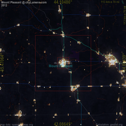
» Earth at Night: Flat Maps 2012, 2016