Midland night lights from space
Night Light of Midland (Michigan) from space (United States) Src. Average luminocity for 10x10km area is 49.3606% and for 50x50km: 9.9118%.
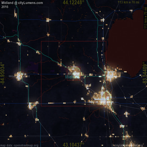
Analysis of Midland night lights 2016
Square area 10x10 km:
 10%
10%90-99
11.52%80-89
2.88%70-79
4.09%60-69
10.15%50-59
9.24%40-49
8.33%30-39
5%20-29
12.42%10-19
16.06%0-9
10.3%Square area 50x50 km:
1.27%90-99
1.73%80-89
0.96%70-79
1.06%60-69
1.62%50-59
1.56%40-49
1.33%30-39
1.35%20-29
3.19%10-19
6.46%0-9
79.49%Clear (daylight) street map image can be seen on geolist.org.
Map coordinates:
44° 7' 20.9" North, 84° 57' 1.2" West
43° 36' 56.1" North, 84° 14' 50" West
43° 6' 15.7" North, 83° 32' 38.7" West
Some cities around Midland sort by population:
• Saginaw
32.4 km =20.1 mi,  132°
132°
• Bay City
28.9 km =18 mi,  94°
94°
• Saginaw Township North
26 km =16.2 mi, 131°
• Saint Louis
37 km =23 mi,  231°
231°
• Freeland
14.2 km =8.8 mi,  135°
135°
• Buena Vista
35.5 km =22.1 mi, 127°
• Shields
27.1 km =16.8 mi,  145°
145°
• Carrollton
30.9 km =19.2 mi,  124°
124°
5001929 (p: 42,200)
Sources (retrieved 2019-11-25):
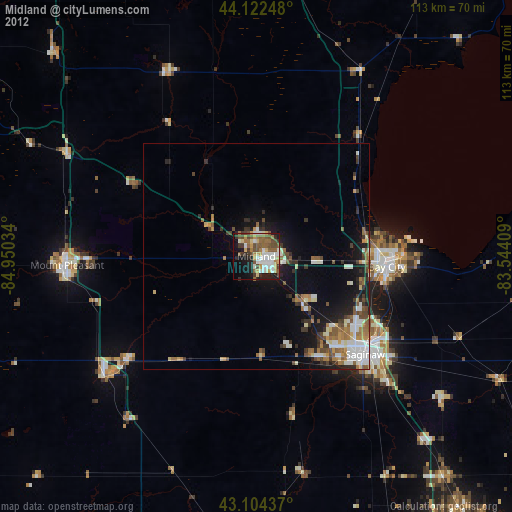
» Earth at Night: Flat Maps 2012, 2016