Byron night lights from space
Night Light of Byron (Minnesota) from space (United States) Src. Average luminocity for 10x10km area is 11.0063% and for 50x50km: 7.8382%.
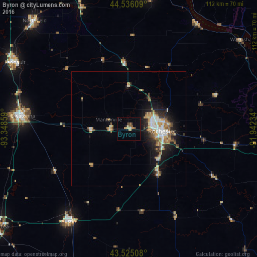
Analysis of Byron night lights 2016
Square area 10x10 km:
 0%
0%90-99
1.27%80-89
1.27%70-79
3.17%60-69
1.27%50-59
1.9%40-49
1.27%30-39
0.63%20-29
1.27%10-19
0%0-9
87.94%Square area 50x50 km:
1.2%90-99
1.19%80-89
1.15%70-79
1.1%60-69
1%50-59
1.09%40-49
0.74%30-39
0.87%20-29
1.96%10-19
4.5%0-9
85.2%Clear (daylight) street map image can be seen on geolist.org.
Map coordinates:
44° 32' 9.9" North, 93° 20' 54.9" West
44° 1' 57.9" North, 92° 38' 43.7" West
43° 31' 30.3" North, 91° 56' 32.4" West
Some cities around Byron sort by population:
• Rochester
14.1 km =8.8 mi,  95°
95°
• Owatonna
46.7 km =29 mi,  276°
276°
• Austin
48.5 km =30.1 mi,  212°
212°
• Faribault
57.6 km =35.8 mi,  300°
300°
• Red Wing
59.6 km =37 mi,  8°
8°
• Kasson
8.4 km =5.2 mi,  267°
267°
• Stewartville
23.4 km =14.5 mi,  147°
147°
• Lake City
55.2 km =34.3 mi,  32°
32°
5019890 (p: 5,328)
Sources (retrieved 2019-11-25):
» Earth at Night: Flat Maps 2012, 2016