Lake City night lights from space
Night Light of Lake City (Minnesota) from space (United States) Src. Average luminocity for 10x10km area is 8.0016% and for 50x50km: 1.7792%.
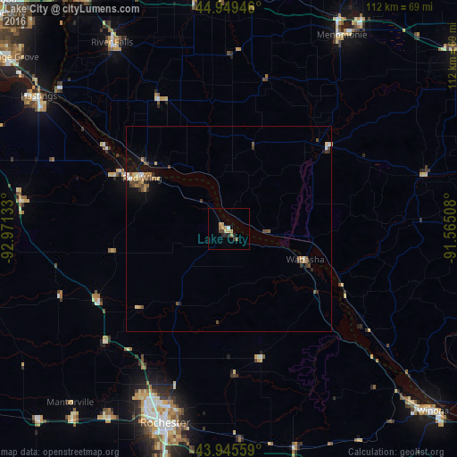
Analysis of Lake City night lights 2016
Square area 10x10 km:
 0.16%
0.16%90-99
0.48%80-89
1.59%70-79
2.38%60-69
1.75%50-59
0.63%40-49
0.79%30-39
1.11%20-29
2.54%10-19
0%0-9
88.57%Square area 50x50 km:
0.08%90-99
0.16%80-89
0.29%70-79
0.22%60-69
0.31%50-59
0.26%40-49
0.53%30-39
0.28%20-29
0.29%10-19
0.96%0-9
96.62%Clear (daylight) street map image can be seen on geolist.org.
Map coordinates:
44° 56' 58.1" North, 92° 58' 16.8" West
44° 26' 58.8" North, 92° 16' 5.5" West
43° 56' 44.1" North, 91° 33' 54.3" West
Some cities around Lake City sort by population:
• Rochester
50.2 km =31.2 mi,  198°
198°
• Winona
67 km =41.6 mi,  131°
131°
• Hastings
56.6 km =35.2 mi,  305°
305°
• Red Wing
24.5 km =15.2 mi,  300°
300°
• Menomonie
54.8 km =34.1 mi,  30°
30°
• River Falls
53.7 km =33.4 mi,  328°
328°
• Kasson
60.5 km =37.6 mi,  219°
219°
• Byron
55.2 km =34.3 mi,  212°
212°
5033727 (p: 5,027)
Sources (retrieved 2019-11-25):
» Earth at Night: Flat Maps 2012, 2016