Stewartville night lights from space
Night Light of Stewartville (Minnesota) from space (United States) Src. Average luminocity for 10x10km area is 12.2825% and for 50x50km: 6.9498%.
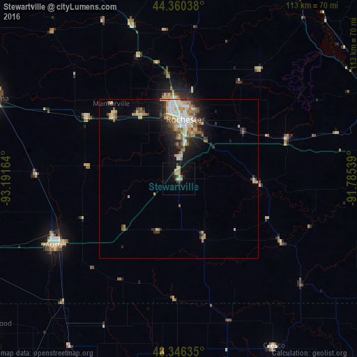
Analysis of Stewartville night lights 2016
Square area 10x10 km:
 0.63%
0.63%90-99
1.43%80-89
3.97%70-79
0.63%60-69
0.95%50-59
0.79%40-49
1.9%30-39
0.48%20-29
3.17%10-19
9.68%0-9
76.35%Square area 50x50 km:
1.17%90-99
1.05%80-89
1.05%70-79
0.97%60-69
0.93%50-59
0.97%40-49
0.76%30-39
0.77%20-29
1.63%10-19
3.35%0-9
87.35%Clear (daylight) street map image can be seen on geolist.org.
Map coordinates:
44° 21' 37.4" North, 93° 11' 29.9" West
43° 51' 19.9" North, 92° 29' 18.6" West
43° 20' 46.9" North, 91° 47' 7.4" West
Some cities around Stewartville sort by population:
• Rochester
18.5 km =11.5 mi,  4°
4°
• Winona
71.3 km =44.3 mi,  72°
72°
• Owatonna
64.2 km =39.9 mi,  293°
293°
• Austin
44.3 km =27.5 mi,  241°
241°
• Albert Lea
74.3 km =46.2 mi,  251°
251°
• Kasson
28.6 km =17.8 mi,  312°
312°
• Byron
23.4 km =14.5 mi,  327°
327°
• Lake City
68.4 km =42.5 mi,  14°
14°
5048796 (p: 6,037)
Sources (retrieved 2019-11-25):
» Earth at Night: Flat Maps 2012, 2016