Rochester night lights from space
Night Light of Rochester (Minnesota) from space (United States) Src. Average luminocity for 10x10km area is 74.1857% and for 50x50km: 7.9459%.
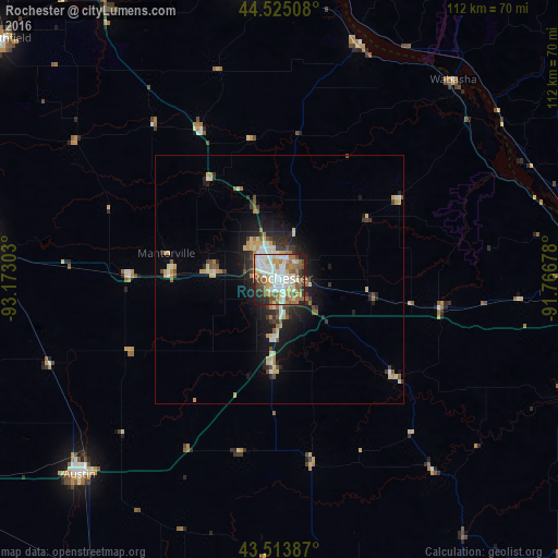

Analysis of Rochester night lights 2016
Square area 10x10 km:
 21.75%
90-99
18.25%80-89
9.84%70-79
9.68%60-69
11.9%50-59
10.63%40-49
6.03%30-39
3.65%20-29
6.67%10-19
1.59%0-9
0%Square area 50x50 km:
1.19%90-99
1.19%80-89
1.25%70-79
1.08%60-69
1%50-59
1.06%40-49
0.79%30-39
0.99%20-29
2.04%10-19
4.59%0-9
84.83%Clear (daylight) street map image can be seen on geolist.org.
Map coordinates:
44° 31' 30.3" North, 93° 10' 22.9" West
44° 1' 17.9" North, 92° 28' 11.6" West
43° 30' 49.9" North, 91° 46' 0.4" West
Some cities around Rochester sort by population:
• Winona
66.5 km =41.3 mi,  87°
87°
• Owatonna
60.8 km =37.8 mi,  276°
276°
• Austin
56.5 km =35.1 mi,  225°
225°
• Red Wing
60.4 km =37.5 mi,  355°
355°
• Kasson
22.5 km =14 mi,  272°
272°
• Stewartville
18.5 km =11.5 mi,  184°
184°
• Byron
14.1 km =8.8 mi, 275°
• Lake City
50.2 km =31.2 mi,  18°
18°
5043473 (p: 112,225)
Sources (retrieved 2019-11-25):
» NASA, Earths city lights 1995
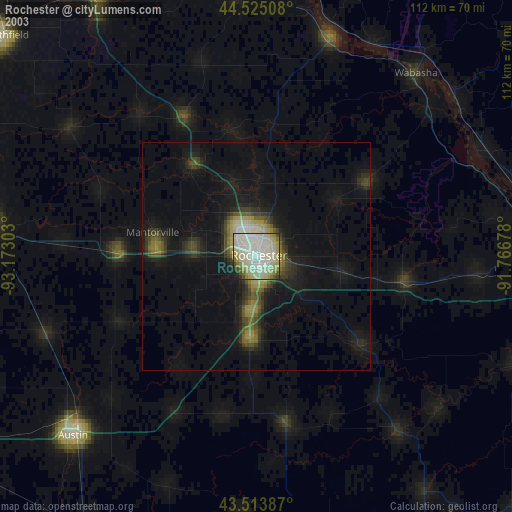
» NASA city lights 2003
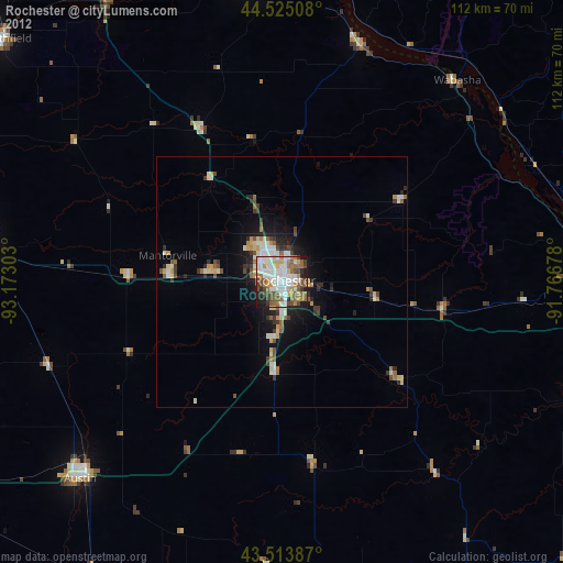
» Earth at Night: Flat Maps 2012, 2016