Bremerton night lights from space
Night Light of Bremerton (Washington) from space (United States) Src. Average luminocity for 10x10km area is 46.2202% and for 50x50km: 18.3491%.
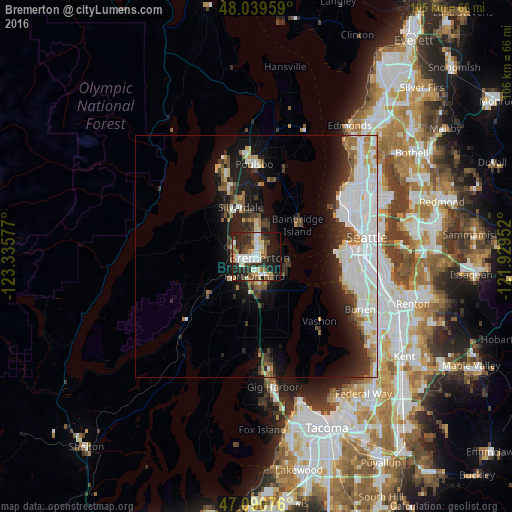
Analysis of Bremerton night lights 2016
Square area 10x10 km:
 8.1%
8.1%90-99
11.51%80-89
4.12%70-79
2.56%60-69
5.26%50-59
7.1%40-49
7.39%30-39
7.39%20-29
21.45%10-19
19.89%0-9
5.26%Square area 50x50 km:
5.69%90-99
4.27%80-89
1.42%70-79
1.06%60-69
1.67%50-59
1.56%40-49
1.85%30-39
2.33%20-29
4.2%10-19
8.56%0-9
67.4%Clear (daylight) street map image can be seen on geolist.org.
Map coordinates:
48° 2' 22.5" North, 123° 20' 8.8" West
47° 34' 2.4" North, 122° 37' 57.5" West
47° 5' 26.7" North, 121° 55' 46.3" West
Some cities around Bremerton sort by population:
• Bainbridge Island
10.6 km =6.6 mi,  51°
51°
• Silverdale
9.8 km =6.1 mi,  331°
331°
• Port Orchard
3 km =1.9 mi,  185°
185°
• Parkwood
4.2 km =2.6 mi,  156°
156°
• Bangor Trident Base
18.3 km =11.4 mi,  340°
340°
• East Port Orchard
4.9 km =3 mi,  172°
172°
• Manchester
6.7 km =4.2 mi,  101°
101°
• Tracyton
4.9 km =3 mi, 339°
5788054 (p: 39,520)
Sources (retrieved 2019-11-25):
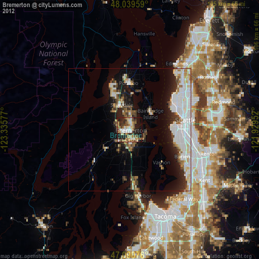
» Earth at Night: Flat Maps 2012, 2016