Bowie night lights from space
Night Light of Bowie (Maryland) from space (United States) Src. Average luminocity for 10x10km area is 68.5016% and for 50x50km: 60.2311%.
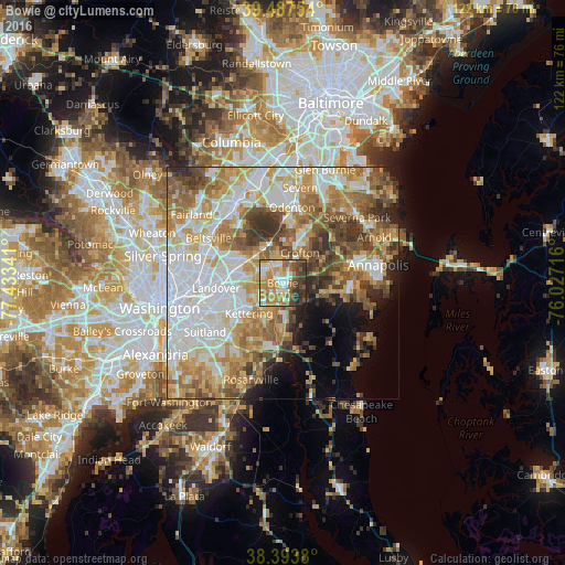
Analysis of Bowie night lights 2016
Square area 10x10 km:
 8.44%
8.44%90-99
16.07%80-89
8.93%70-79
19.81%60-69
13.96%50-59
9.25%40-49
7.47%30-39
10.88%20-29
4.71%10-19
0.49%0-9
0%Square area 50x50 km:
15.45%90-99
12.45%80-89
8.64%70-79
10.27%60-69
9.18%50-59
8.99%40-49
6.25%30-39
5.81%20-29
3.98%10-19
4.71%0-9
14.27%Clear (daylight) street map image can be seen on geolist.org.
Map coordinates:
39° 29' 15.1" North, 77° 26' 0.3" West
38° 56' 34" North, 76° 43' 49" West
38° 23' 37.7" North, 76° 1' 37.8" West
Some cities around Bowie sort by population:
• Crofton
7.5 km =4.7 mi,  29°
29°
• Glenn Dale
9.3 km =5.8 mi,  302°
302°
• Kettering
9.8 km =6.1 mi,  228°
228°
• Mitchellville
2.2 km =1.4 mi,  208°
208°
• Largo
10 km =6.2 mi,  239°
239°
• Lake Arbor
9.4 km =5.8 mi,  245°
245°
• Davidsonville
9.1 km =5.7 mi,  104°
104°
• Fairwood
4.4 km =2.7 mi,  290°
290°
4349159 (p: 58,025)
Sources (retrieved 2019-11-25):
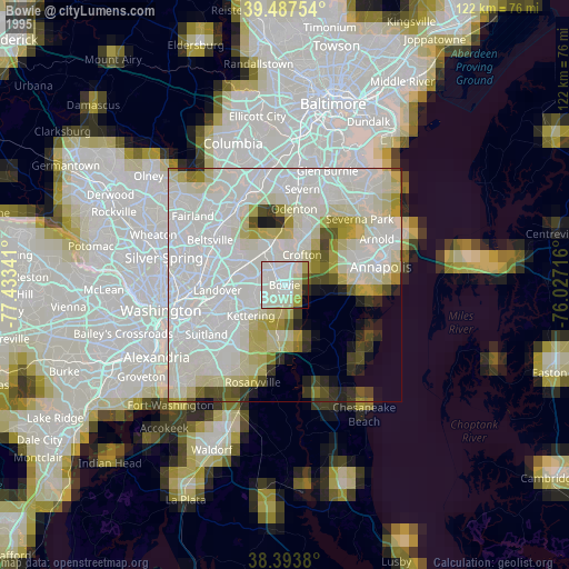
» NASA, Earths city lights 1995
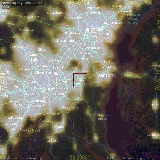
» NASA city lights 2003
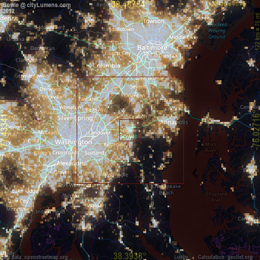
» Earth at Night: Flat Maps 2012, 2016