Crofton night lights from space
Night Light of Crofton (Maryland) from space (United States) Src. Average luminocity for 10x10km area is 61.3864% and for 50x50km: 60.2665%.
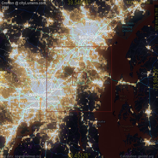
Analysis of Crofton night lights 2016
Square area 10x10 km:
 6.98%
6.98%90-99
7.31%80-89
9.42%70-79
9.58%60-69
12.18%50-59
19.32%40-49
21.1%30-39
12.66%20-29
1.46%10-19
0%0-9
0%Square area 50x50 km:
15.08%90-99
13.85%80-89
8.12%70-79
10.14%60-69
8.54%50-59
8.56%40-49
6.36%30-39
6.15%20-29
4.12%10-19
5.7%0-9
13.37%Clear (daylight) street map image can be seen on geolist.org.
Map coordinates:
39° 32' 45.9" North, 77° 23' 26.2" West
39° 0' 6.4" North, 76° 41' 14.9" West
38° 27' 11.7" North, 75° 59' 3.7" West
Some cities around Crofton sort by population:
• Bowie
7.5 km =4.7 mi,  209°
209°
• Odenton
9.2 km =5.7 mi,  353°
353°
• Glenn Dale
11.6 km =7.2 mi,  262°
262°
• Mitchellville
9.8 km =6.1 mi, 209°
• Fort Meade
12.8 km =8 mi,  337°
337°
• Edgewater
12.9 km =8 mi,  112°
112°
• Davidsonville
10.2 km =6.3 mi,  149°
149°
• Fairwood
9.3 km =5.8 mi,  237°
237°
4352539 (p: 27,348)
Sources (retrieved 2019-11-25):
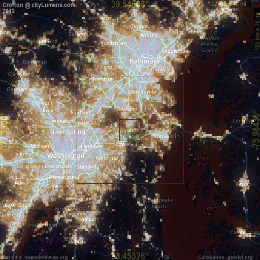
» Earth at Night: Flat Maps 2012, 2016