Blythe night lights from space
Night Light of Blythe (California) from space (United States) Src. Average luminocity for 10x10km area is 18.467% and for 50x50km: 1.1907%.
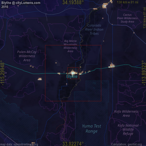
Analysis of Blythe night lights 2016
Square area 10x10 km:
 2.2%
2.2%90-99
2.75%80-89
1.47%70-79
0.55%60-69
5.86%50-59
1.1%40-49
4.03%30-39
2.56%20-29
0.73%10-19
8.97%0-9
69.78%Square area 50x50 km:
0.12%90-99
0.11%80-89
0.06%70-79
0.03%60-69
0.34%50-59
0.15%40-49
0.39%30-39
0.25%20-29
0.12%10-19
0.45%0-9
97.99%Clear (daylight) street map image can be seen on geolist.org.
Map coordinates:
34° 11' 38" North, 115° 17' 58.1" West
33° 36' 37.1" North, 114° 35' 46.9" West
33° 1' 21.9" North, 113° 53' 35.6" West
Some cities around Blythe sort by population:
• Yuma
98.4 km =61.1 mi,  181°
181°
• Lake Havasu City
100.4 km =62.4 mi,  14°
14°
• Fortuna Foothills
107.3 km =66.7 mi,  170°
170°
• Brawley
111.7 km =69.4 mi,  231°
231°
• Somerton
113.2 km =70.3 mi,  185°
185°
• Calipatria
100.8 km =62.6 mi,  237°
237°
• Holtville
114.9 km =71.4 mi,  219°
219°
• Tecolots, MX
121.5 km =75.5 mi,  197°
197°
5329649 (p: 19,208)
Sources (retrieved 2019-11-25):
» Earth at Night: Flat Maps 2012, 2016