Brawley night lights from space
Night Light of Brawley (California) from space (United States) Src. Average luminocity for 10x10km area is 27.2766% and for 50x50km: 6.1277%.
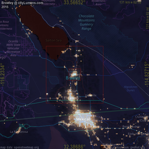
Analysis of Brawley night lights 2016
Square area 10x10 km:
 3.66%
3.66%90-99
3.66%80-89
1.47%70-79
0.73%60-69
6.41%50-59
6.59%40-49
4.4%30-39
2.93%20-29
4.95%10-19
32.78%0-9
32.42%Square area 50x50 km:
0.72%90-99
0.71%80-89
0.24%70-79
0.31%60-69
1.57%50-59
1.64%40-49
0.86%30-39
0.91%20-29
1.39%10-19
4.11%0-9
87.55%Clear (daylight) street map image can be seen on geolist.org.
Map coordinates:
33° 33' 59.5" North, 116° 14' 0.2" West
32° 58' 43.2" North, 115° 31' 49" West
32° 23' 12.7" North, 114° 49' 37.7" West
Some cities around Brawley sort by population:
• Mexicali, MX
39.6 km =24.6 mi,  169°
169°
• El Centro
21 km =13 mi,  188°
188°
• Calexico
33.5 km =20.8 mi, 174°
• Santa Isabel, MX
38.6 km =24 mi, 186°
• Imperial
15 km =9.3 mi, 194°
• Progreso, MX
44.6 km =27.7 mi, 186°
• Calipatria
16.4 km =10.2 mi,  5°
5°
• Holtville
23.3 km =14.5 mi,  143°
143°
5330567 (p: 25,897)
Sources (retrieved 2019-11-25):
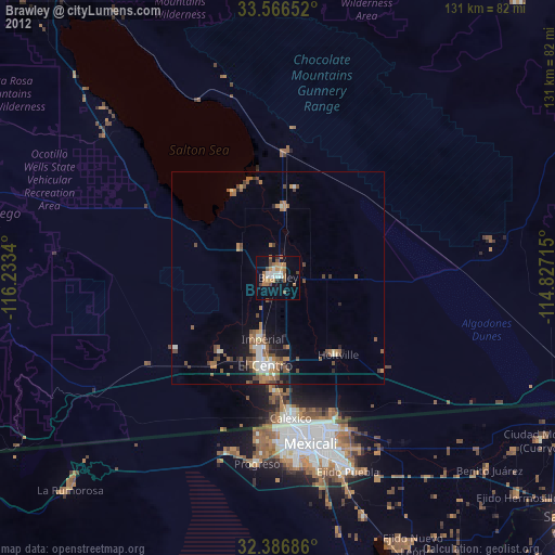
» Earth at Night: Flat Maps 2012, 2016